
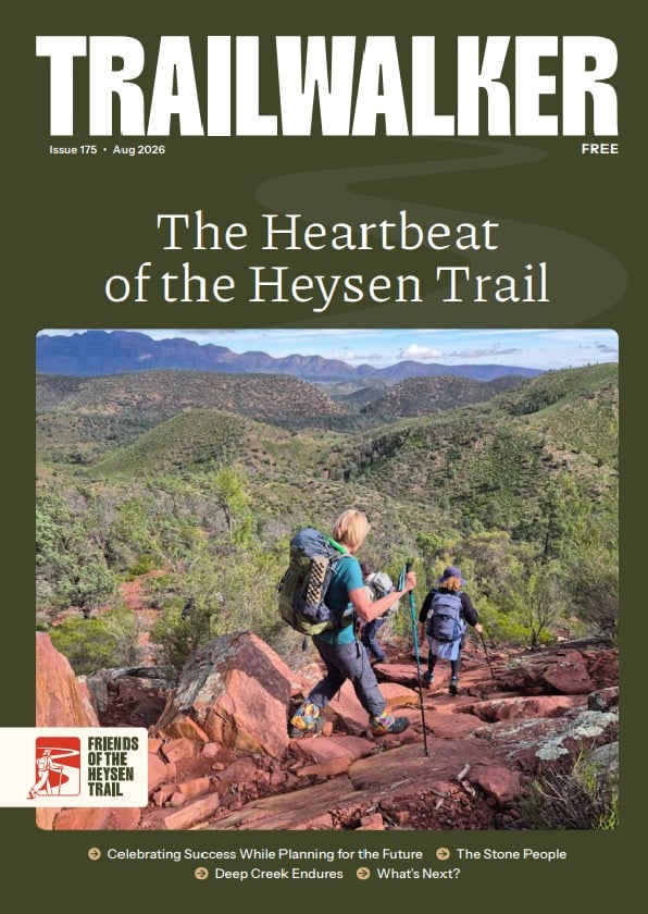
Calabrinda Creek walk-in site

Accommodation option

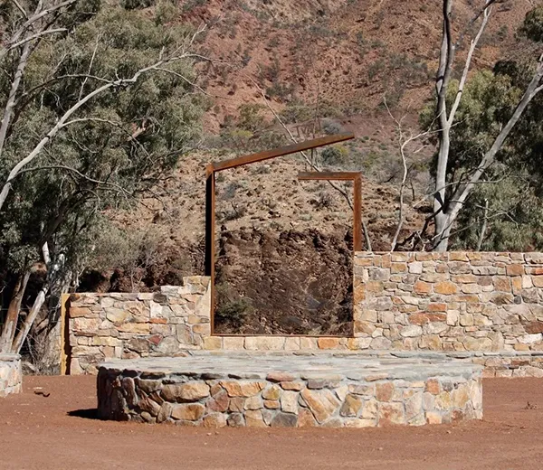
Shelter
Campsite
Water Tank

Accommodation

  • Shelter (small)
  • 'Walk-in' site
  • Water Tank

Water tank level

View latest tank level

Maps

Coordinates

Grid ref: 407 546

Latitude: -32.012958
Longitude: 138.257047

Download GPX file
Download KML file

Contact

Friends of the Heysen Trail

Facilities

Tank water, a small shelter and toilet. Minimal protection from the wind or weather. Check tank levels before you go.

Photos

Interactive map

Total distance: 
0
Start elevation: 
0
End elevation: 
0
Lowest elevation: 
0
Highest elevation: 
0

What visitors have to say…

Leave a Reply

Your email address will not be published. Required fields are marked *

Helpful links and resources