Section 40: The Bluff Lookout to White Park Road

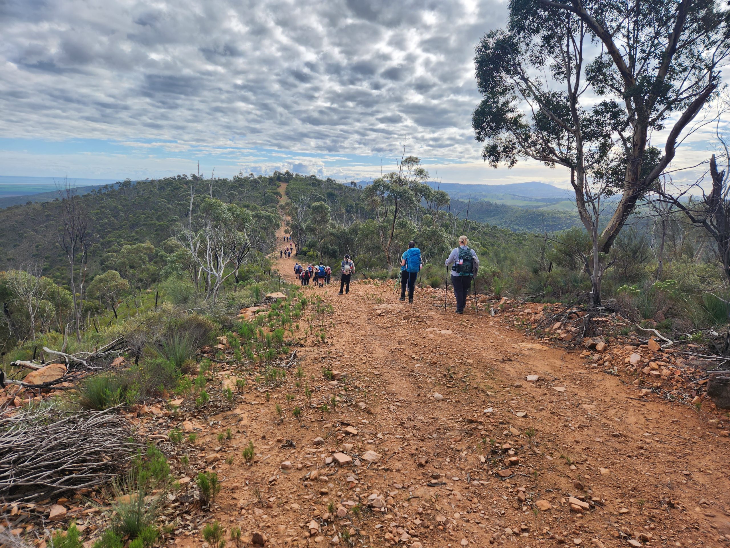
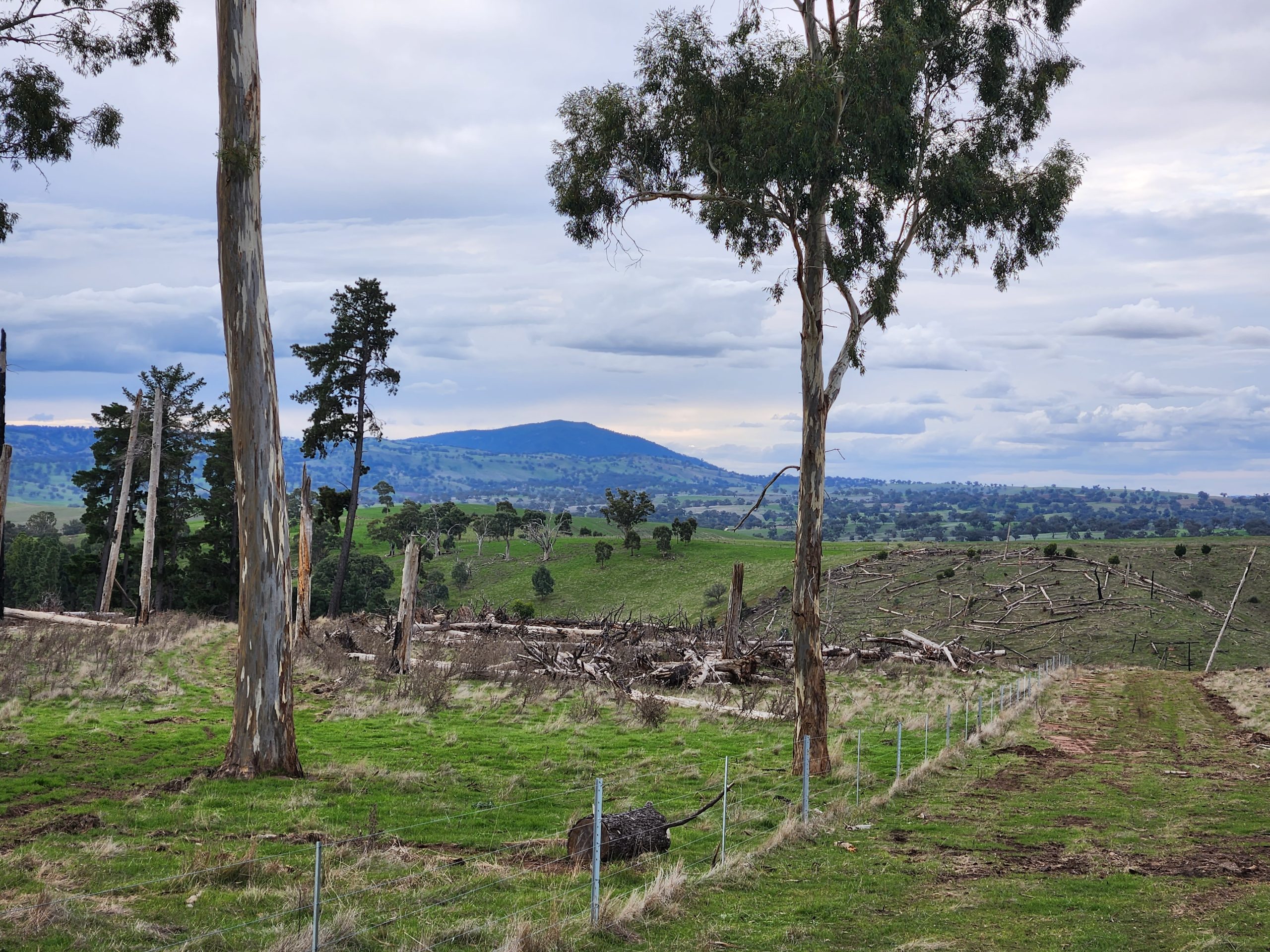
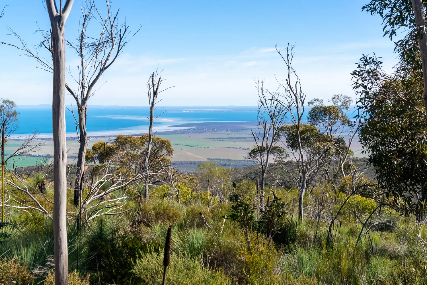
It’s a day of ascents and descents, but you’ll be richly rewarded with diverse scenery and great views. Following the ridgeline on fire access tracks through the dense natural scrub of the Telowie Gorge Conservation Park you’ll enjoy views over Port Germein and across the gulf to Whyalla and Port Bonython. After turning off the ridgeline a steep descent leads you along Sheepyard Track then up to Rocky Ridge before you’ll turn north through old harvested pine forest. A steep climb to Sugargum Lookout provides more views of the Gulf.

The Trail continues along the Wirrabara Greenway through a private property to end on White Park just south of Yellow Cutting Roads.

Quick stats
19km
Map & GPS Files

View map in full screen format.
View full featured Interative Map of the Heysen Trail.

Download GPX file for a GPS unit.
Download KML file for Google Earth/Maps.
Download full-featured GPX and/or KML files of the Heysen Trail.

Mapsheet 5B, Hiskeys Hut to Wirrabara Forest;
Mapsheet 6A, Wirrabara Forest to Melrose

Re-Routes
Location of The Bluff Lookout
349 359
(234938 6335978 zone 54)
Latitude: -33.082513 (33° 4' 57.0468")
Longitude: 138.160385 (138° 9' 37.386")
View in Google Maps
Location of White Park Road
355 465
(235500 6346500 zone 54)
Latitude: -32.995188 (32° 59' 42.6768")
Longitude: 138.161677 (138° 9' 42.0372")
View in Google Maps