


Lavender Federation Trail, Map 6, Manoora to Clare
A$10.00
Topographic trail map of the Lavender Federation Trail.
Map 6 covers the section of the trail from Manoora to Clare.
There are 6 maps in this series:
https://heysentrail.asn.au/shop/lavender-federation-trail-maps/
- scale 1:50 000 (1cm = 500m)
- includes elevation graph with placenames
- road with road names, car park access points marked
- roads subject to inundation following heavy rains marked
- track notes including distances
- heavy paper
| Attributes | Value |
|---|---|
| Weight | 0.025 kg |
| Dimensions | 21 × 10 × .3 cm |
| Publisher |
South Australian Recreational Trails Inc (SARTI) |
| Map size (unfolded) |
89cm x 21cm (folds to 10cm x 21cm) |
| Map scale |
1:50 000 |
| Pages |
2 |
| Year of publication |
2018 |
We endeavour to process all orders within 3-5 business days. Orders are delivered via Australia Post using either standard or express delivery. Shipping rates can be calculated at checkout.
View our delivery policy for more information.
More maps in this series…
-
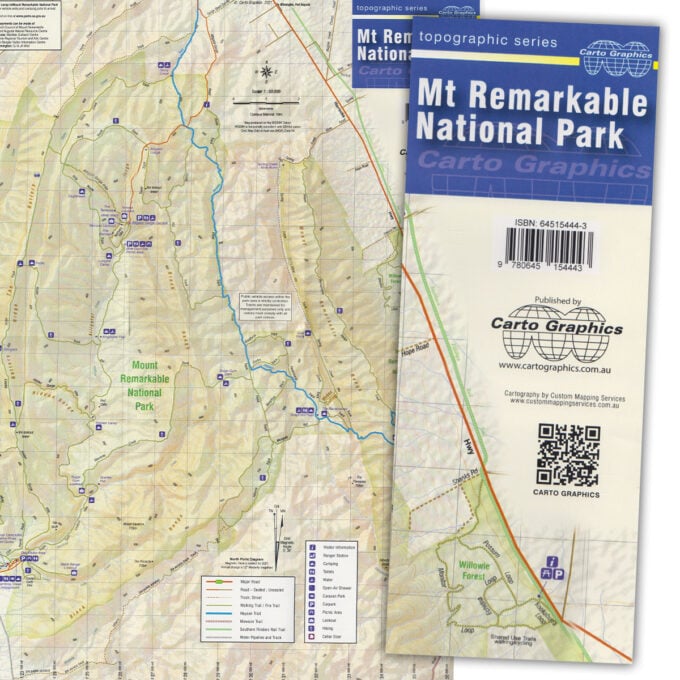
Mt Remarkable National Park map
A$10.00 -
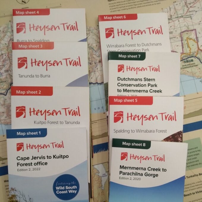
Official Heysen Trail Maps
A$15.00 -
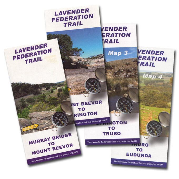
Lavender Federation Trail maps
A$10.00 -
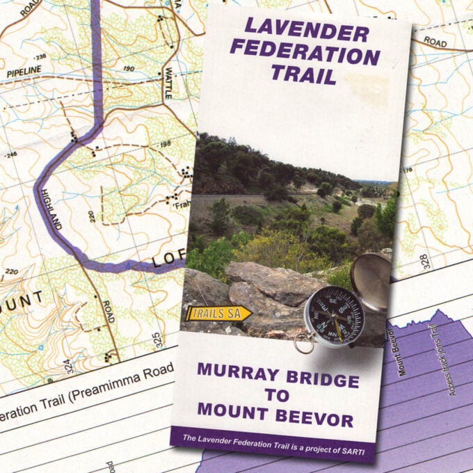
Lavender Federation Trail, Map 1, Murray Bridge to Mt Beevor
A$10.00 -
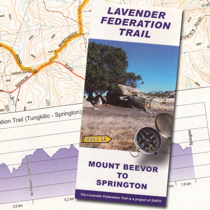
Lavender Federation Trail, Map 2, Mt Beevor to Springton
A$10.00 -
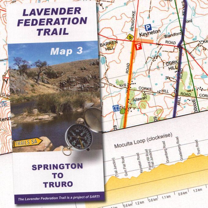
Lavender Federation Trail, Map 3, Springton to Truro
A$10.00 -
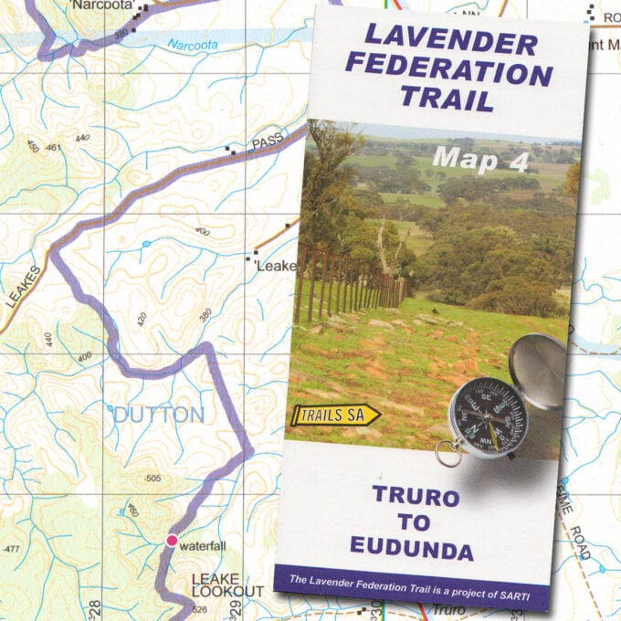
Lavender Federation Trail, Map 4, Truro to Eudunda
A$10.00 -
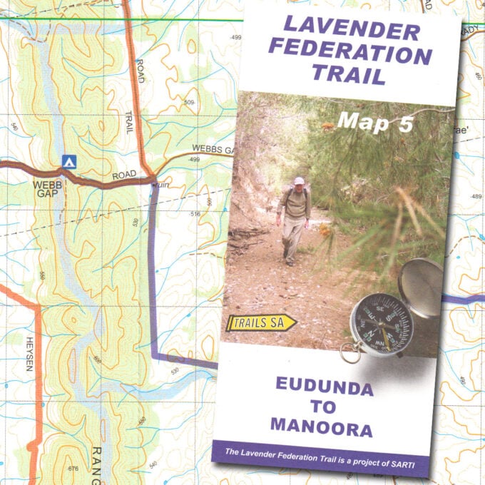
Lavender Federation Trail, Map 5, Eudunda to Manoora
A$10.00 -
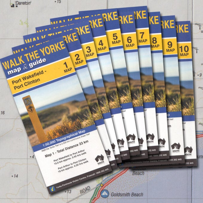
Walk the Yorke map set (10 maps)
A$45.00 -
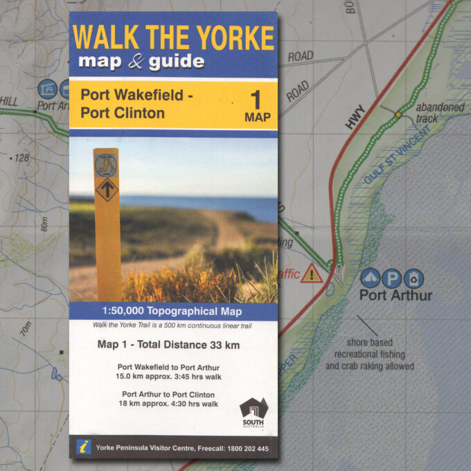
Walk the Yorke map 1 – Port Wakefield to Port Clinton
A$5.00 -
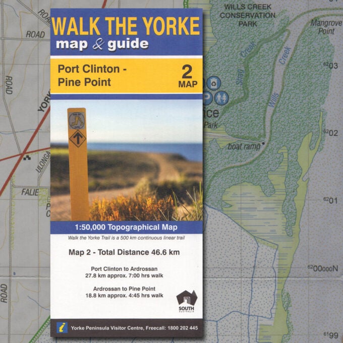
Walk the Yorke map 2 – Port Clinton to Pine Point
A$5.00 -
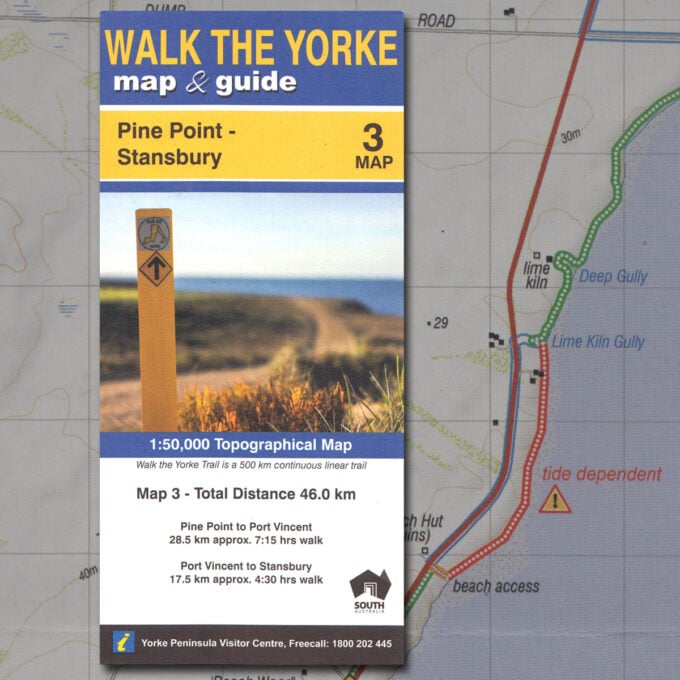
Walk the Yorke map 3 – Pine Point to Stansbury
A$5.00