

Mid North map
A$10.00
Find public road access to the Heysen and other walking trails with this double sided, fold out road map of the Mid North.
Includes the following maps.
Mid North map
- whole of one side
- 100cm x 69cm
- colour
- 1:240 000 scale (1cm = 1.2km)
- shaded relief
- Heysen Trail, Mawson Trail and Riesling Trail marked
- shows roads, parks, wineries
Mount Remarkable National Park map
- 48cm x 51cm
- colour
- 1:50 000 scale (1cm = 500m)
- shaded relief
- Heysen Trail and Mawson Trail marked
- roads and walking trails
- campsites and water
Wirrabara Forest map
- 48cm x 51cm
- colour
- 1:50 000 scale (1cm = 500m)
- shaded relief
- Heysen Trail and Mawson Trail marked
- roads, forest tracks and walking trails
- campsites and water
Bundaleer Forest map
- 30cm x 35cm
- colour
- 1:50 000 scale (1cm = 500m)
- shaded relief
- Heysen Trail and Mawson Trail marked
- roads, forest tracks and walking trails
- campsites and water
Clare Valley Wine Region map
- 27cm x 39cm
- colour
- 1:100 000 scale (1cm = 1km)
- shaded relief
- Mawson Trail and Riesling Trail marked
- wineries and picnic spots
| Attributes | Value |
|---|---|
| Weight | 0.08 kg |
| Dimensions | 25 × 14 × 0.3 cm |
| Publisher |
Cartographics |
| Year of publication |
2010 |
| Map size (unfolded) |
69cm x 100cm (folds to 15cm x 25cm) |
| Map scale |
1:240 000 |
| Pages |
2 |
We endeavour to process all orders within 3-5 business days. Orders are delivered via Australia Post using either standard or express delivery. Shipping rates can be calculated at checkout.
View our delivery policy for more information.
Related products
-
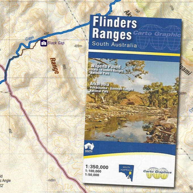
Flinders Ranges map
A$13.00 -
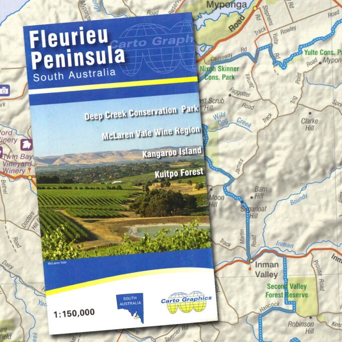
Fleurieu Peninsula map
A$10.00 -
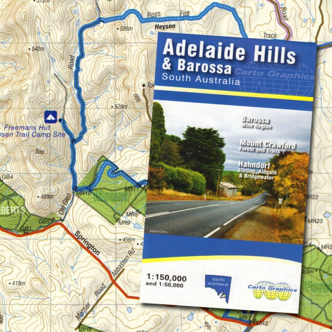
Adelaide Hills & Barossa Valley map
A$10.00