
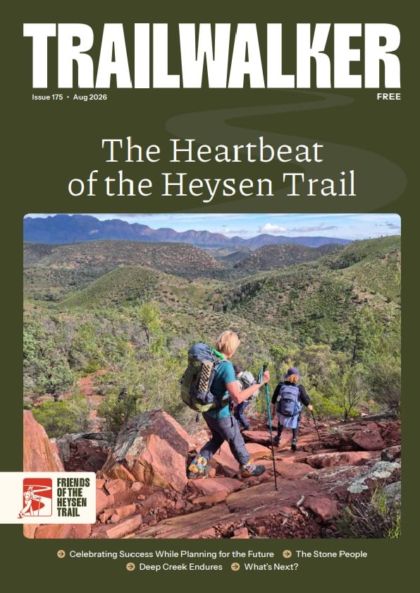
Hiking from Broadview to Woolshed Flat
Section 46 of the Heysen Trail takes you from Broadview to Woolshed Flat and includes a steep climb up Mount Brown.
On this walk we acknowledge the traditional lands of the Nukunu people.
What you’ll experience hiking Section 46 of the Trail
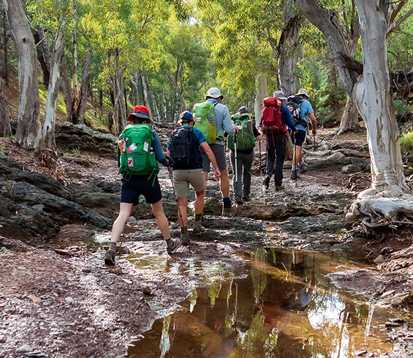
This section of the Trail climbs through grazing land and natural scrub to Mount Brown where, after a very testing ascent, you’ll get spectacular views of the northern Spencer Gulf from the viewing tower. If you’re part of a group you’ll need to descend in single file to Waukarie Creek before you end with a classic Flinders Ranges creek walk.
Maps and GPS Files
Map view options
View full featured Interactive Map of the Heysen Trail.
Download map data
Member Benefit
GPX and KML files are a member benefit – join the Friends to download trail data for planning and offline navigation.
Become a member →Already a member? Login →
Printed maps
Mapsheet 6C, Wilmington to Woolshed Flat
Walker / Vehicle access
Location of Broadview
Vehicle access at Broadview, 18 km north of Wilmington or 30 km south of Quorn is via the Gunyah Road.
At Broadview the Trail and the access trail pass through a private sheep property.
A spur trail has been marked from the intersection of Gunyah Road and Broadview Road/Lane (lat/long -32.52134, 138.07286) to the Heysen Trail. There is no unauthorized vehicle access beyond this point.
The spur goes to the south side of the Broadview Homestead then follows a fence up to the main trail at GR 214 974 (Lat/Long: -32.52537 138.03369)
Location of Broadview
Grid Reference
214 974 (221400 6397400 zone 54)
Coordinates
Latitude: -32.525370 (32° 31' 31.332")
Longitude: 138.033690 (138° 2' 1.284")
View in Google Maps
Location of Woolshed Flat
Grid Reference
797 058 (779700 6405800 zone 53)
Coordinates
Latitude: -32.449862 (32° 26' 59.5032")
Longitude: 137.975237 (137° 58' 30.8532")
View in Google Maps