
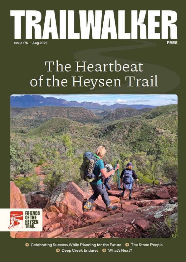
Hiking from Bunyeroo to Trezona
Section 59 of the Heysen Trail takes you from Bunyeroo Valley to the geologically significant Trezona area.
On this walk we acknowledge the traditional lands of the Adnyamathanha people.
What you’ll experience hiking Section 59 of the Trail
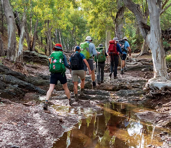
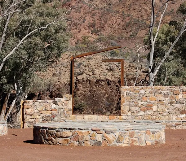
In this section you’ll climb from Bunyeroo Valley, up to Yanyanna Hut, passing several vantage points along the way that provide superb opportunities to take photos of the ranges behind you. Continuing along Yanyanna Track the Trail passes old settlers huts before entering the geologically significant Trezona area.
Maps and GPS Files
Map view options
View full featured Interactive Map of the Heysen Trail.
Download map data
Member Benefit
GPX and KML files are a member benefit – join the Friends to download trail data for planning and offline navigation.
Become a member →Already a member? Login →
Printed maps
Mapsheet 8C, Bunyeroo Creek to Aroona
Location of Bunyeroo
Grid Reference
694 212 (269400 6521200 zone 54)
Coordinates
Latitude: -31.420939 (31° 25' 15.3801")
Longitude: 138.574092 (138° 34' 26.7321")
View in Google Maps
Location of Trezona
Grid Reference
743 313 (274300 6531300 zone 54)
Coordinates
Latitude: -31.330853 (31° 19' 51.072")
Longitude: 138.627892 (138° 37' 40.4117")
View in Google Maps