
Hiking from Burra to Wandallah
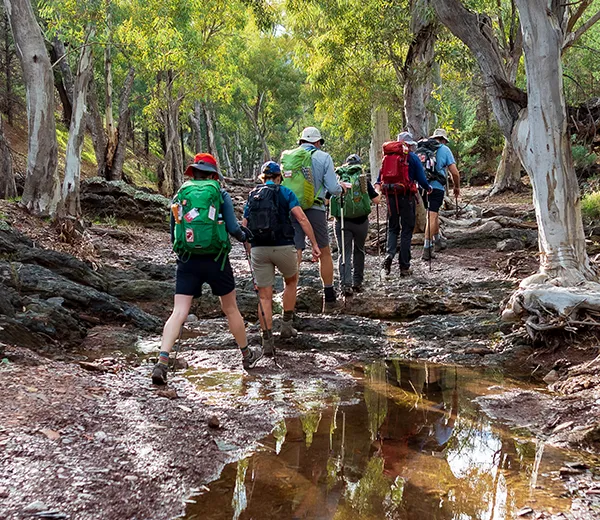
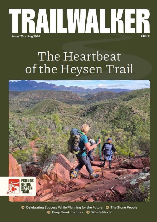
Section 27 of the Heysen Trail takes you from Burra over the North Mount Lofty Ranges to Wandallah.
On this walk we acknowledge the traditional lands of the Ngadjuri people.
What you’ll experience hiking Section 27 of the Trail
This section of the Trail goes through historic Burra, passing the old Redruth Gaol and other reminders of a bygone era. The Trail then takes you over the exposed hills of the North Mount Lofty Ranges to Wandallah.
Maps and GPS Files
Map view options
View full featured Interactive Map of the Heysen Trail.
Download map data
Member Benefit
GPX and KML files are a member benefit – join the Friends to download trail data for planning and offline navigation.
Become a member →Already a member? Login →
Printed maps
Mapsheet 4A, Burra to Caroona Creek Conservation Park
Location of Burra
Grid Reference
091 712 (309100 6271200 zone 54)
Coordinates
Latitude: -33.681993 (33° 40' 55.1748")
Longitude: 138.940630 (138° 56' 26.268")
View in Google Maps
Location of Wandallah
Grid Reference
135 787 (313500 6278700 zone 54)
Coordinates
Latitude: -33.615171 (33° 36' 54.6156")
Longitude: 138.989643 (138° 59' 22.7148")
View in Google Maps