

Heysen Trail overview wall map
Wall poster map of the Heysen Trail. Dimensions 82 cms height, 29 cms width.
Good for marking progress of your day and weekend hiking progress.
To minimise shipping costs, please phone the Office (on 08 8212 6299 ) to order and arrange payment. Refer to the details tab for further information.
Features:
- Topographic map of South Australia showing Heysen Trail, mountain ranges, towns and highways, minor roads
- 1:630,000 scale (1cm = 6.3km)
Not for use when hiking as a navigation aid.
- Please phone the Office (on 08 8212 6299 ) to provide your name and delivery details and arrange payment.
- As the maps are rolled up and posted in a tube, they must be sent separately from any other products ordered.
- There is a postage and handling charge of $17.50 for postage anywhere in Australia.
| Attributes | Value |
|---|---|
| Weight | 0.040 kg |
| Dimensions | 29 × 4 × 4 cm |
| Map size (unfolded) |
82cm wide x 29cm wide |
| Pages |
1 |
| Postage Method |
Posted rolled in mailing tube |
We endeavour to process all orders within 3-5 business days. Orders are delivered via Australia Post using either standard or express delivery. Shipping rates can be calculated at checkout.
View our delivery policy for more information.
Map updates and additional information
From time to time sections of the Heysen Trail are rerouted due to forestry operations, bushfires or Trail upgrades. You can view and print relevant reroutes from our reroutes pages.
You can access to download onto handheld GPS unit from our Maps & GPS page. We recommend you also carry the official mapsheets when hiking the Trail.
More maps in this series…
-
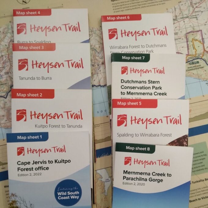
Official Heysen Trail Maps
A$15.00 -
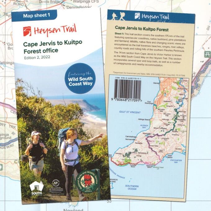
Heysen Trail sheet map 1, Edition 2, 2022, Cape Jervis to Kuitpo Forest (inc the Wild South Coast Way)
A$15.00 -
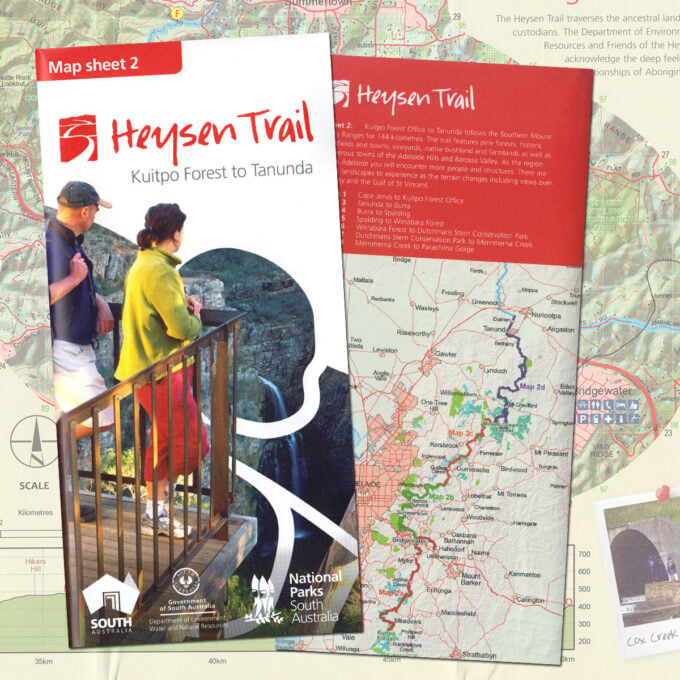
Heysen Trail sheet map 2, Kuitpo Forest to Tanunda
A$15.00 -
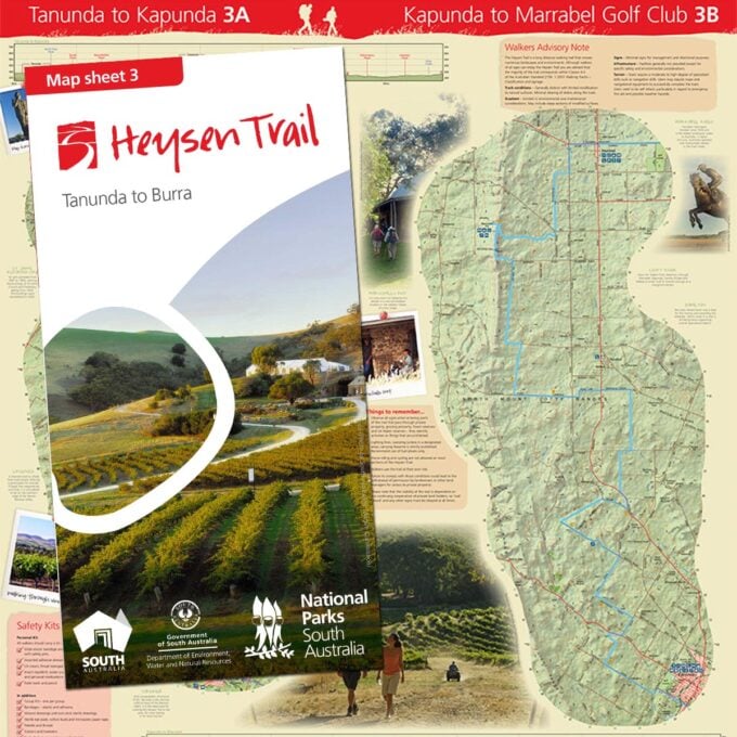
Heysen Trail sheet map 3, Tanunda to Burra
A$15.00 -
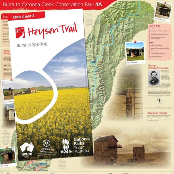
Heysen Trail sheet map 4, Burra to Spalding
A$15.00 -
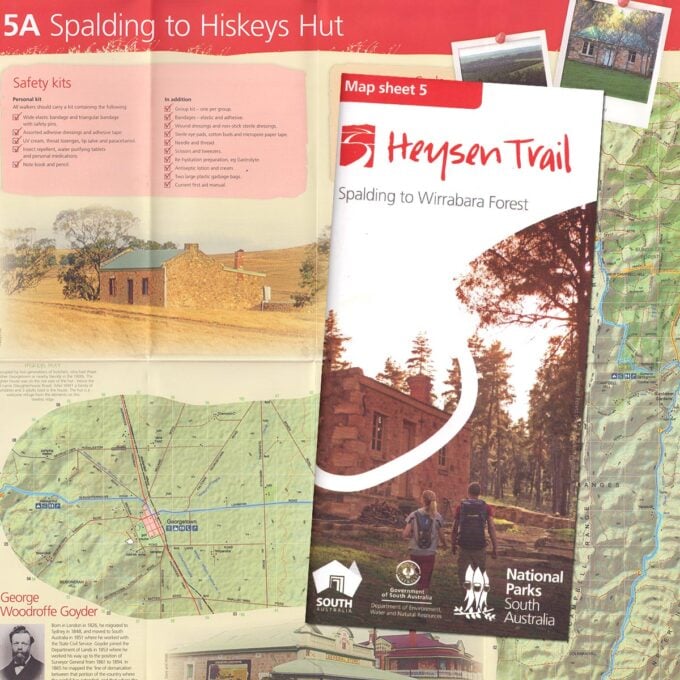
Heysen Trail sheet map 5, Spalding to Wirrabara Forest
A$15.00 -
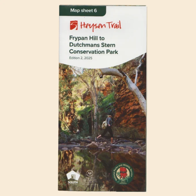
Heysen Trail sheet map 6, Edition 2, 2025 – Frypan Hill to Dutchmans Stern Conservation Park
A$15.00 -
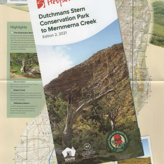
Heysen Trail sheet map 7, Edition 2, 2021 – Dutchmans Stern Conservation Park to Mernmerna Creek
A$15.00 -
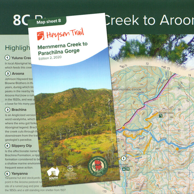
Heysen Trail sheet map 8, Edition 2, 2020 – Mernmerna Creek to Parachilna Gorge
A$15.00 -
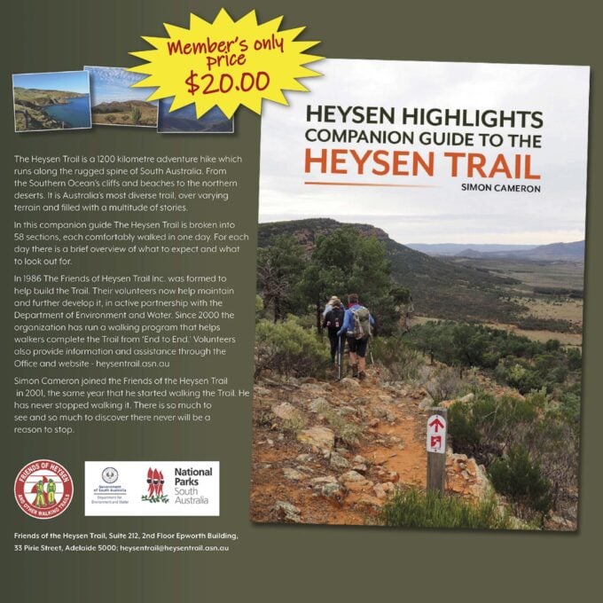
Heysen Highlights. A companion guide to the Heysen Trail
A$25.00 -
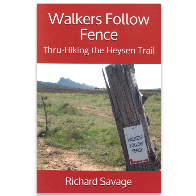
Walkers Follow Fence: Thru-Hiking the Heysen Trail
A$19.25 -

Impressions of the Heysen Trail