

Heysen Trail sheet map 5, Spalding to Wirrabara Forest
Heysen Trail sheet map 5, covers the Mid North from Spalding to Wirrabara Forest. The map sheet includes 2 detailed 1:50,000 topographic maps of the sections of the Heysen Trail covered by this map sheet.
Coverage of map:
- Map 5A, Spalding to Hiskeys Hut
- Map 5B, Hiskeys Hut to Wirrabara Forest
There are 8 maps in this series:
https://heysentrail.asn.au/shop/official-heysen-trail-mapsheets/
- 1:50 000 scale (1cm = 500m)
- Fold-out map, double sided, water resistant paper
- Elevation profiles with km markers and crossing point names
- Loop trails in national parks
- Location of supplies & facilities
- Important contact details
- Interesting facts along the Trail
- Accommodation and campsites
- Advice on walking and safety
| Attributes | Value |
|---|---|
| Weight | 0.045 kg |
| Dimensions | 21 × 10.7 × 0.45 cm |
| Publisher |
Department for Environment and Water (DEW) |
| Year of publication |
2015 |
| Map scale |
1:50 000 |
| Edition |
1st edition |
| Map size (unfolded) |
59cm x 84cm |
We endeavour to process all orders within 3-5 business days. Orders are delivered via Australia Post using either standard or express delivery. Shipping rates can be calculated at checkout.
View our delivery policy for more information.
Map updates and additional information
From time to time sections of the Heysen Trail are rerouted due to forestry operations, bushfires or Trail upgrades. You can view and print relevant reroutes from our reroutes pages.
You can access to download onto handheld GPS unit from our Maps & GPS page. We recommend you also carry the official mapsheets when hiking the Trail.
More maps in this series…
-
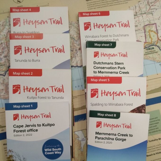
Official Heysen Trail Maps
A$15.00 -
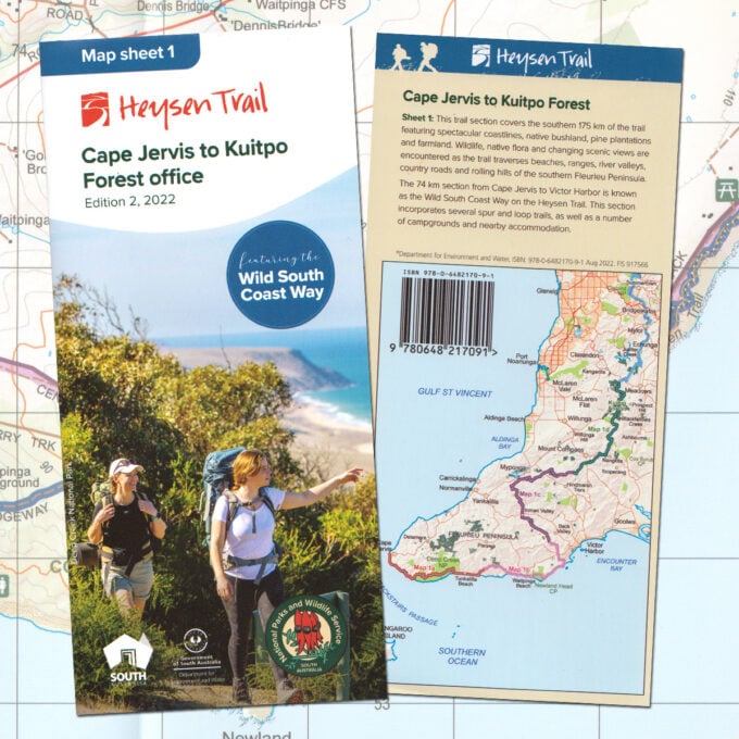
Heysen Trail sheet map 1, Edition 2, 2022, Cape Jervis to Kuitpo Forest (inc the Wild South Coast Way)
A$15.00 -
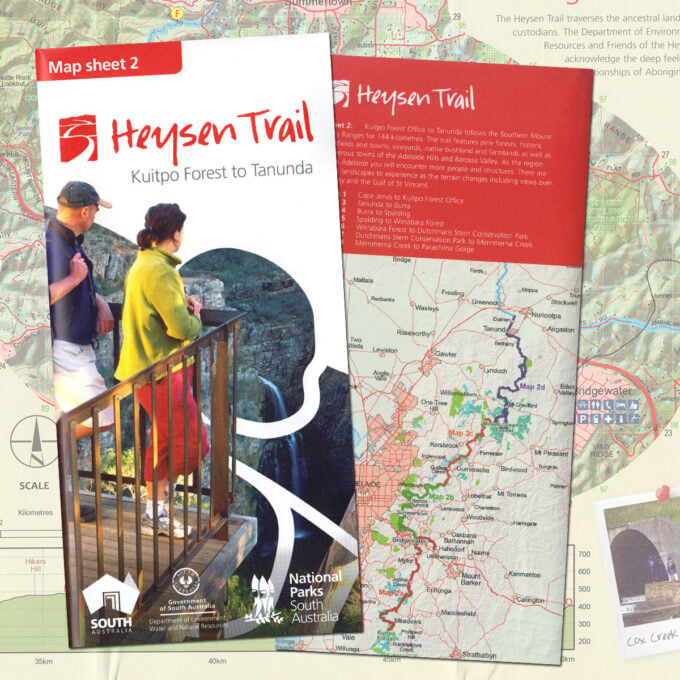
Heysen Trail sheet map 2, Kuitpo Forest to Tanunda
A$15.00 -
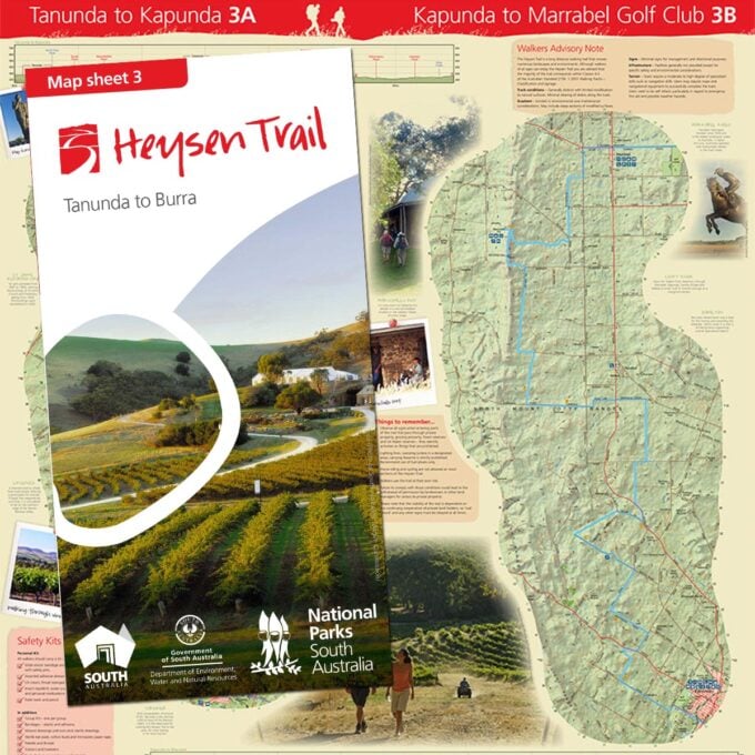
Heysen Trail sheet map 3, Tanunda to Burra
A$15.00 -
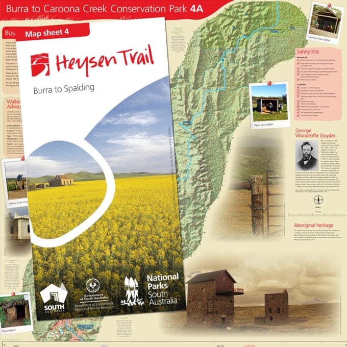
Heysen Trail sheet map 4, Burra to Spalding
A$15.00 -
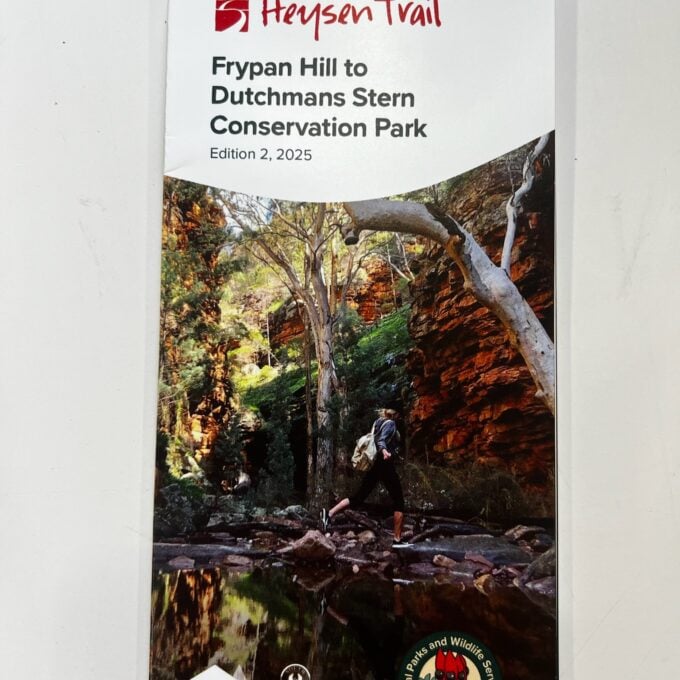
Heysen Trail sheet map 6, Edition 2, 2025 – Frypan Hill to Dutchmans Stern Conservation Park
A$15.00 -
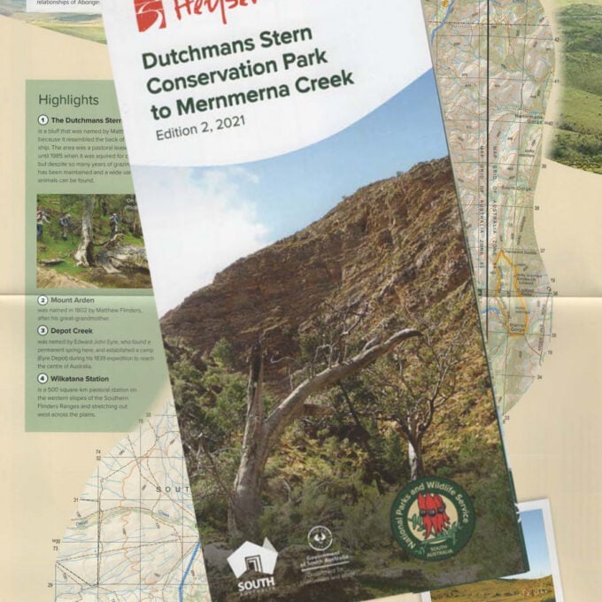
Heysen Trail sheet map 7, Edition 2, 2021 – Dutchmans Stern Conservation Park to Mernmerna Creek
A$15.00 -
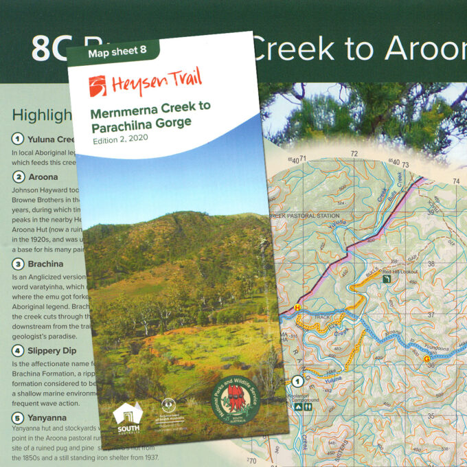
Heysen Trail sheet map 8, Edition 2, 2020 – Mernmerna Creek to Parachilna Gorge
A$15.00 -
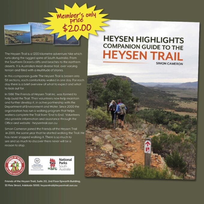
Heysen Highlights. A companion guide to the Heysen Trail
A$25.00 -
Walkers Follow Fence: Thru-Hiking the Heysen Trail
A$19.25 -
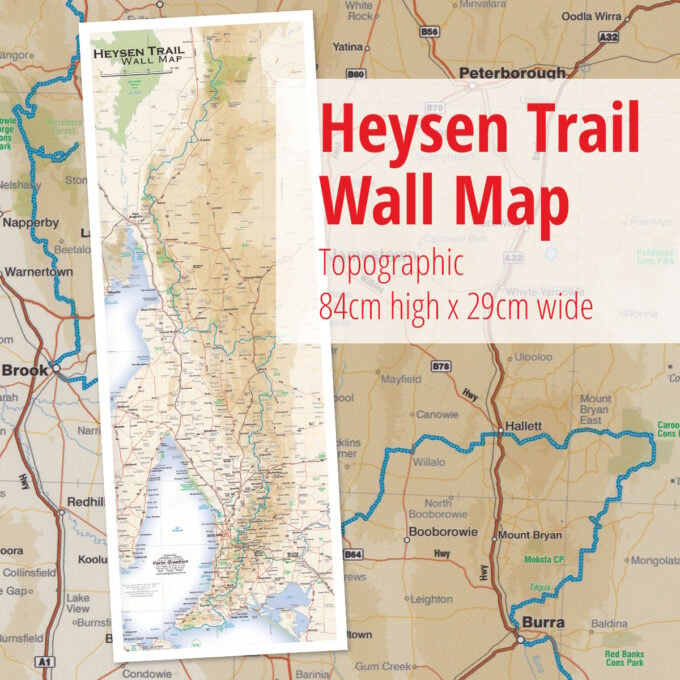
Heysen Trail overview wall map
A$30.00 -

Impressions of the Heysen Trail