


Ikara-Flinders Ranges National Park Bushwalking Map (topographic)
A$10.00
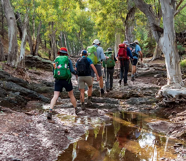
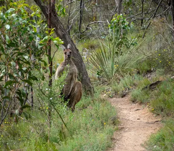
The Ikara-Flinders Ranges National Park Bushwalking Map displays the park’s extensive walking trail network.
- 1:75 000 detailed colour topographic map (1cm = 0.75km)
- shows all marked walking trails, forest tracks, roads and campgrounds
- elevation is represented via a hillshade and contours,
- folded to DL size (10cm x 21cm), folds out to 80cm wide by 62cm high
- water resistant paper
| Attributes | Value |
|---|---|
| Weight | 0.045 kg |
| Dimensions | 21 × 10 × .7 cm |
| Publisher |
Department for Environment and Water (DEW) |
| Map scale |
1:75 000 |
| Map size (unfolded) |
80 cm x 62 cm |
| Year of publication |
2022 |
| Edition |
1st edition |
We endeavour to process all orders within 3-5 business days. Orders are delivered via Australia Post using either standard or express delivery. Shipping rates can be calculated at checkout.
View our delivery policy for more information.
Related products
-
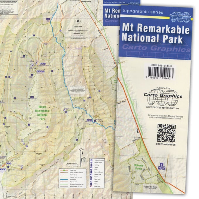
Mt Remarkable National Park map
A$10.00 -
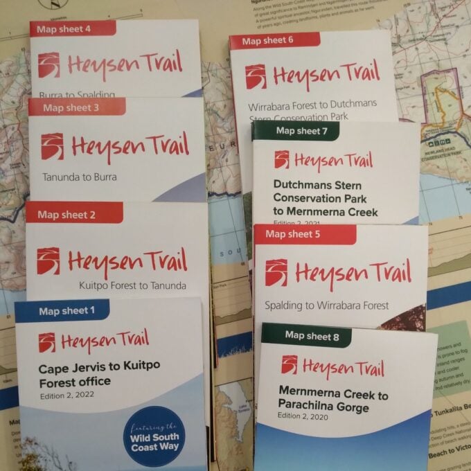
Official Heysen Trail Maps
A$15.00 -
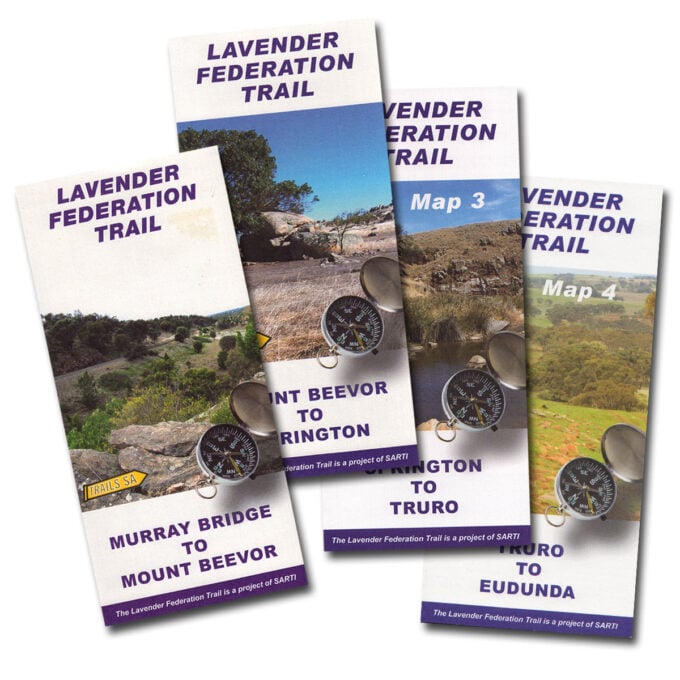
Lavender Federation Trail maps
A$10.00 -
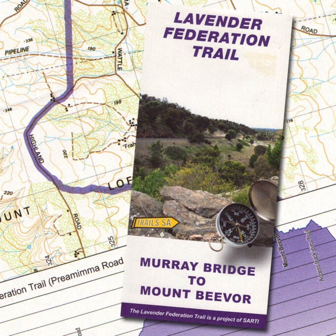
Lavender Federation Trail, Map 1, Murray Bridge to Mt Beevor
A$10.00 -
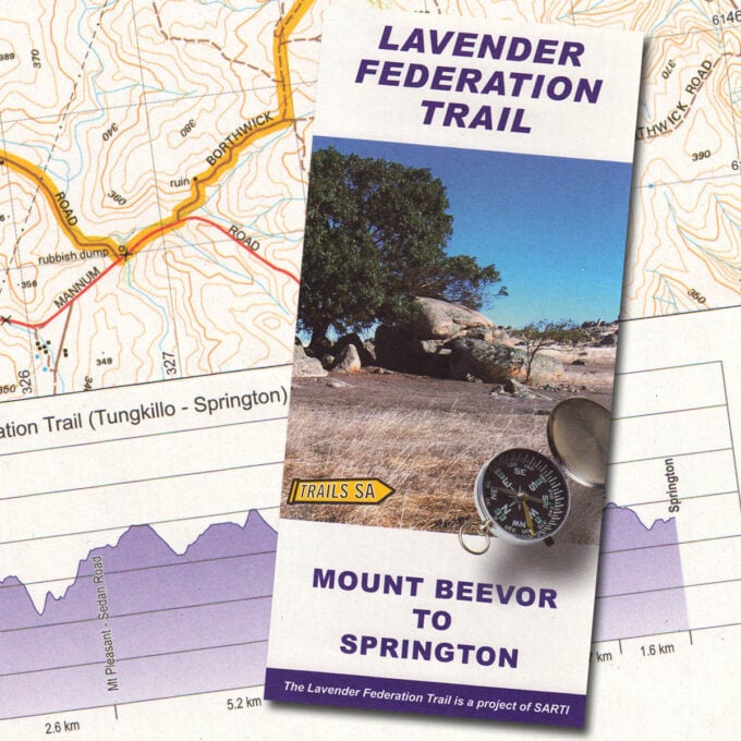
Lavender Federation Trail, Map 2, Mt Beevor to Springton
A$10.00 -
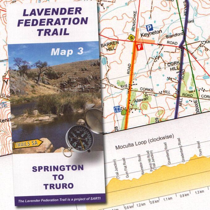
Lavender Federation Trail, Map 3, Springton to Truro
A$10.00 -
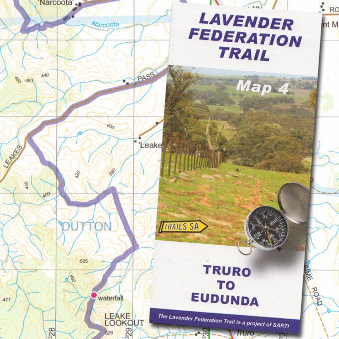
Lavender Federation Trail, Map 4, Truro to Eudunda
A$10.00 -
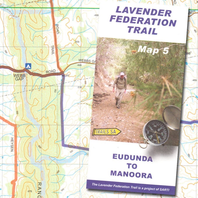
Lavender Federation Trail, Map 5, Eudunda to Manoora
A$10.00 -
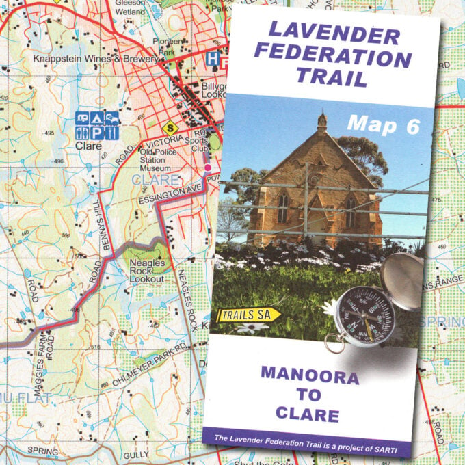
Lavender Federation Trail, Map 6, Manoora to Clare
A$10.00 -
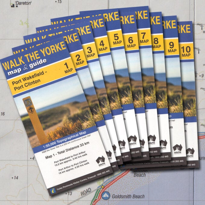
Walk the Yorke map set (10 maps)
A$45.00 -
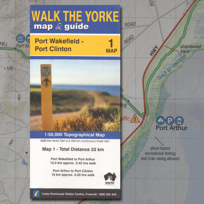
Walk the Yorke map 1 – Port Wakefield to Port Clinton
A$5.00 -
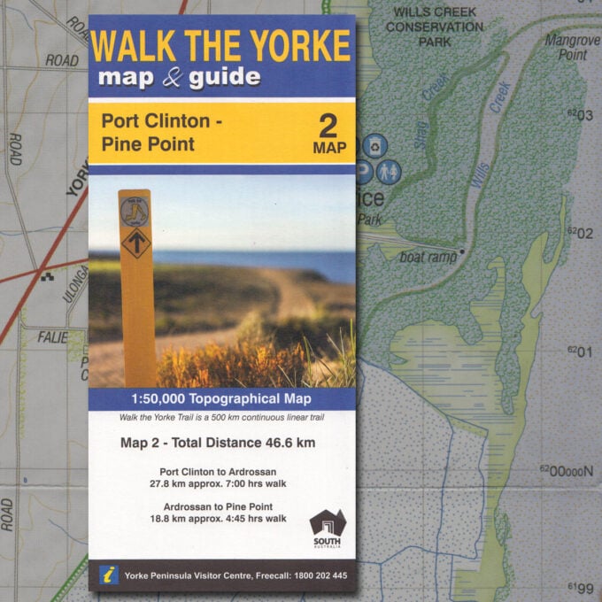
Walk the Yorke map 2 – Port Clinton to Pine Point
A$5.00