


The catch-up chatting began in the bus, which picked up many walkers from outside the Heysen office, in Pitt Street, on the way to the first stop in Port Augusta. Walking gear and food filled the storage area under the bus but left just enough space for a large addition, no names mentioned, in Snowtown.
Importantly, amongst other things, this carried today’s supply of goodies so capably organised by the fruitcake committee.
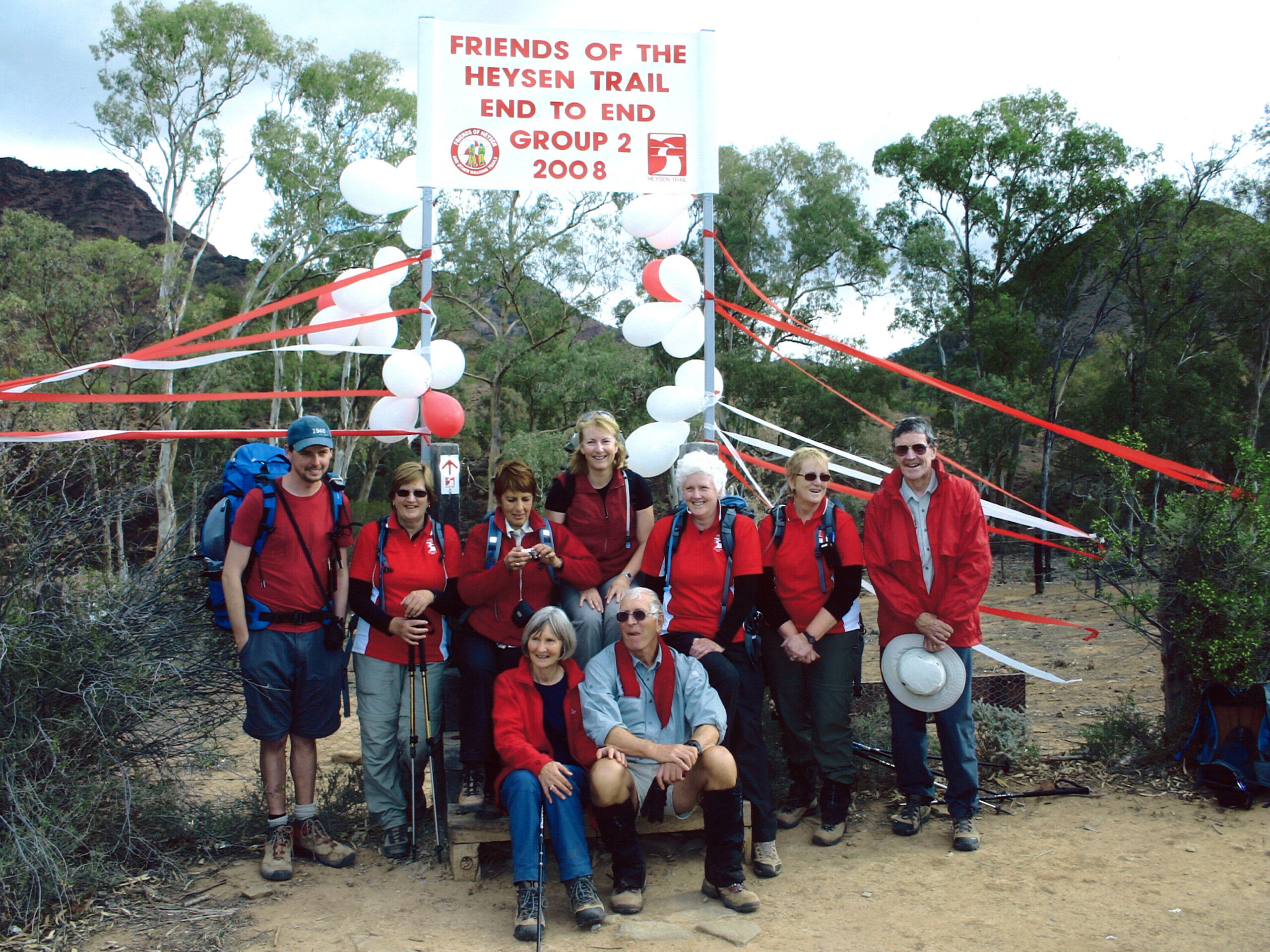
This was to be our penultimate week of walking the Heysen Trail, but no one can plan the weather. How great that there has finally been some rain in the north of our state; some seed has been planted and there is already a tinge of green to show for it. For walkers, though, the rain was not so well timed. Our bus got bogged on the Eyre Depot road to the west of the range. Thanks to careful planning by Jerry and Michelle, we were towed out by Barry and Trevor, in the pre arranged support vehicle. Plan B: We returned through Pt Augusta and Quorn to access the trail from the eastern side at Argadells HS. No one could say we didn’t try. The day was overcast and misty. Wet weather gear was put into action. It was too damp to sit for morning tea. Ominously, even the 4WD’ers were abandoning their holiday weekend plans. Then the mist turned to rain, the wind blew across the ridge top, there was no shelter for a lunch stop, and still another 13km to go in these conditions. Sadly, our kilt-clad president decided it was too wet to play his bagpipes on Mt Arden. Plan C: We retraced our steps. We had walked about 19km. It was dark by the time the bus was negotiating the wet dirt roads back to the main road. Jerry awarded this group the prize for the greatest amount of effort for the least amount of trail walked in a day: 450m (900 if you count both directions.) A hot shower and hot food were welcome that night.
Day 2 was a rest day. It turned out to be a sunny day but the access roads were impassable. Tip: If you haven’t already visited the Wadlata Outback Centre in Port Augusta, do so soon. It is an excellent exhibition of the Outback, made interesting by its variety of interactive displays, and has a good café too.
The colour of the rocks; ochre, orange and red also demanded photography; it would be good to return in different lights.
We moved on to base at Quorn for two nights, with the challenge of Mt Arden as yet unmet. The next walks were characterised by rock hopping along creek beds. This was made all the more interesting by the steep gorges and recent rain, leaving water holes, and in some places, running creeks, to be crossed. There was plenty of mud too, adding weight to our boots, a novelty for those who have mainly been walking the Heysen in drought conditions. The rock pools provided picturesque lunch stops, and Jeremy, with his reflection, became the focus of a photo shoot or was it just his feet? The colour of the rocks; ochre, orange and red also demanded photography; it would be good to return in different lights. This section is amply supplied with campsites, such as Bucharinga North, Calabrinda Creek and Mount Elm. We can only imagine how this area was different in the past, with the early pioneers trying to make a living. We saw the ruins of a community large enough to support the Mt Elm School, and graves at Old Wonoka recorded the lives of those who worked the land rather than gained their recreation from it.
For the last three nights we were based at Hawker. A break from the predominantly flat territory was the hike up Jarvis Hill, with its magnificent viewpoint across the Willochra Plain, then through forest and along the Yourambulla Range. This is not a track for the faint hearted. It requires considerable concentration on footwork with steep drops at the edge of the ridge. We were rewarded with fabulous views, this time towards the Elder Range and at last, Wilpena Pound appears within reachable distance.In the near distance we had a bird’s eye view of an eagle’s nest. It took up most of the tree.
One in 50 year floods, in 2007, had taken out dense vegetation, leaving us the choice of following the creek beds or walking on its banks. Huge horizontal tree trunks caught in between the trees still standing, were testament to the power of this mighty flood
We almost got into the swing of creek walking, but the same creek seems to be called many different names on the map; Wonoka, Memmerna and Slaty Creek, to the inexperienced, all seem to be the same one. It was interesting to note how this area had changed since the End to End 1 group had walked through a few years ago. One in 50 year floods, in 2007, had taken out dense vegetation, leaving us the choice of following the creek beds or walking on its banks. Huge horizontal tree trunks caught in between the trees still standing, were testament to the power of this mighty flood. Mayo Hut has a commanding view above the flood line; it offered a scenic lunch stop. We left the trail at the Red Range campsite with a steep climb through the native pines on the Arkaba station, to the familiar site of the bus, and its driver, Gavin. Importantly, amongst other things, this carried today’s supply of goodies so capably organised by the fruitcake committee.