
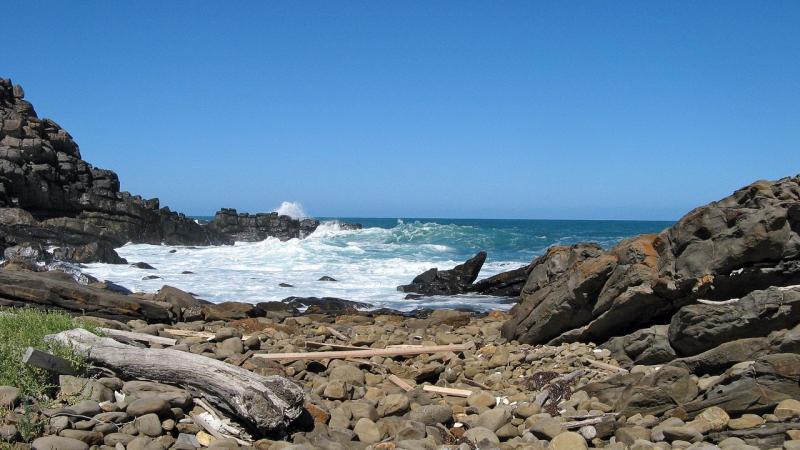


Along this picturesque section you’ll experience the diversity of the Heysen Trail as you pass through native bushland, walk along the beautiful Tunkalilla Beach, view lush farmland, climb Balquhidder and see some very memorable hills. You might even spot a whale!
Walkers take note:
- The land from the foot of the dunes along Tunkalilla Beach is private property. The fence line is well within the private property. Please only walk on the beach and stay away from the dunes and the ridge.
- During very high tides when there are on-shore winds the sea may lap the base of the dunes so you could get wet. Be sure to check high tide times before you walk.
- Chains have been installed to help you climb Balquhidder Hill. if you are hiking with a group please have no more than two people using the chain between each pair of posts.