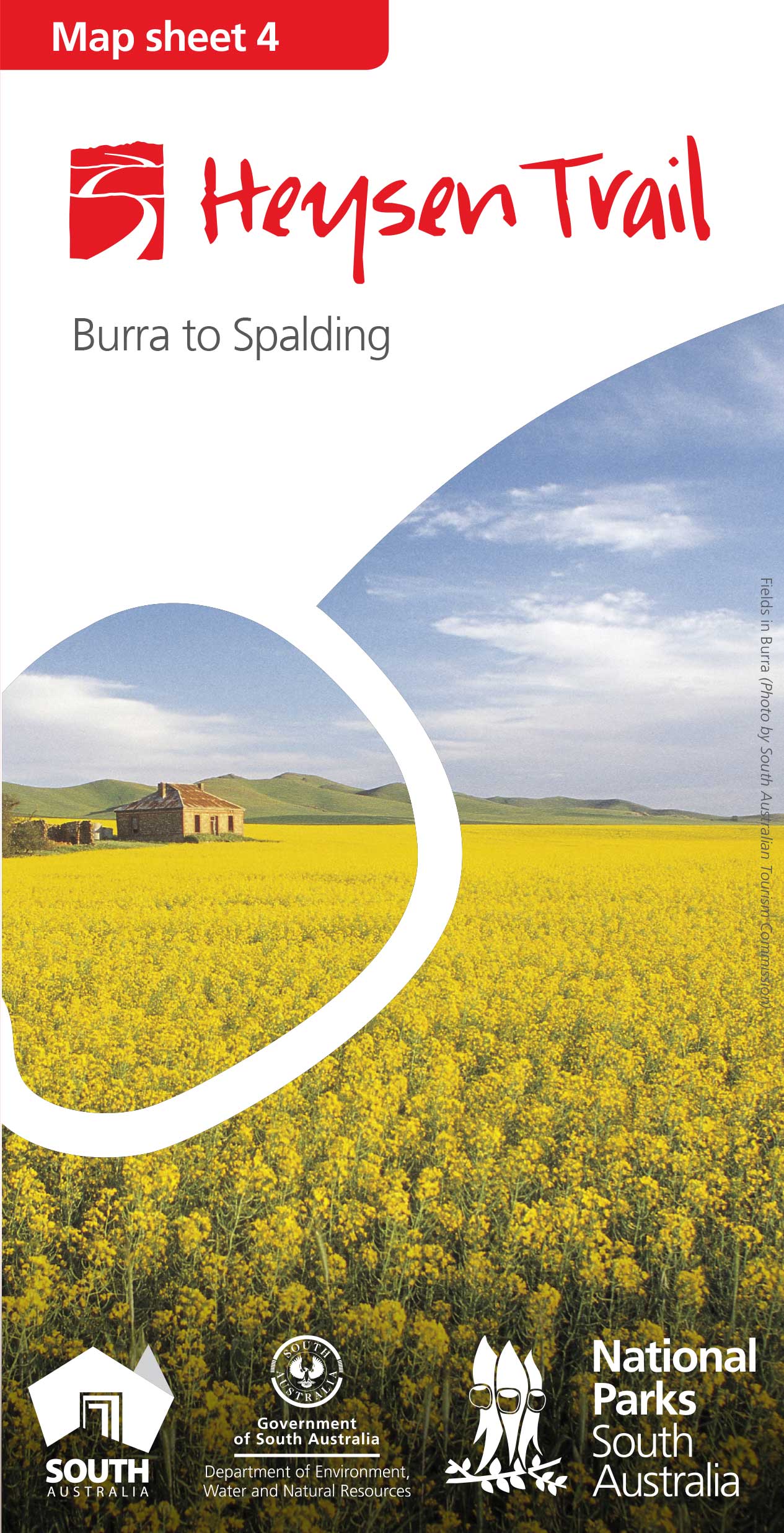
View pdf map.
The Mount Bryan reroute aligns the Trail with the road reserve.
After leaving the Mount Bryan East Road, the Trail follows the northern side of the fence. After reaching a stile it generally tracks north west, zig zagging to the summit.
Download gpx file.
This re-reoute applies to: Section 30: Dares Hill Summit Rd to Hallett

View all re-routes for the Mapsheet 4: Burra to Spalding (May 2015)