Section 10: Kyeema to Dashwood Gully

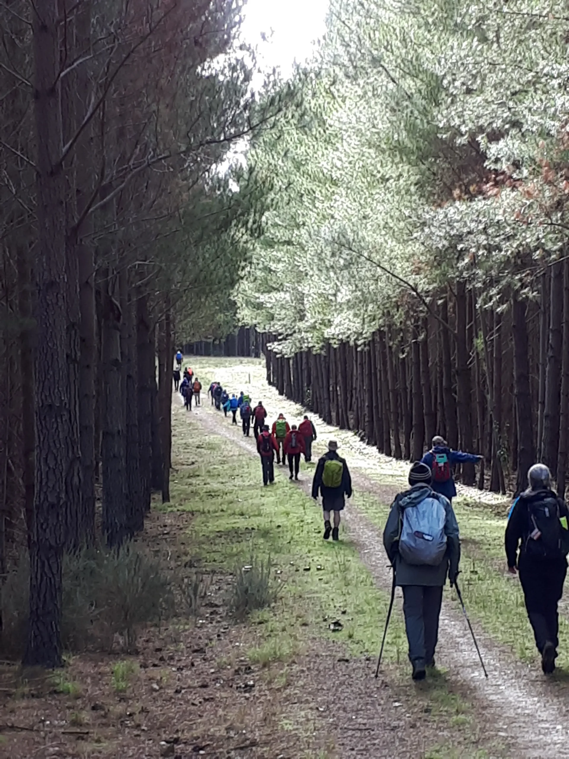
The dense native bushland of Kyeema Conservation Park, the plantations of Kuitpo Forest and pretty back roads make this a pleasant walk, especially in winter.

The Kaurna people are the traditional owners of the land this part of the Trail traverses and have Native Title rights in the area.

Quick stats
20.5km
Map & GPS Files

View map in full screen format.
View full featured Interative Map of the Heysen Trail.

Download GPX file for a GPS unit.
Download KML file for Google Earth/Maps.
Download full-featured GPX and/or KML files of the Heysen Trail.

Mapsheet 1D, Mount Cone to Kuitpo Forest;
Mapsheet 2A, Kuitpo Office to Bridgewater Oval

Re-Routes
Location of Kyeema
899 942
(289900 6094200 zone 54)
Latitude: -35.2733164639 (35° 16' 23.9393")
Longitude: 138.6900783444 (138° 41' 24.282")
View in Google Maps
Location of Dashwood Gully
912 056
(291200 6105600 zone 54)
Latitude: -35.1708760389 (35° 10' 15.1537")
Longitude: 138.7072529611 (138° 42' 26.1107")
View in Google Maps