

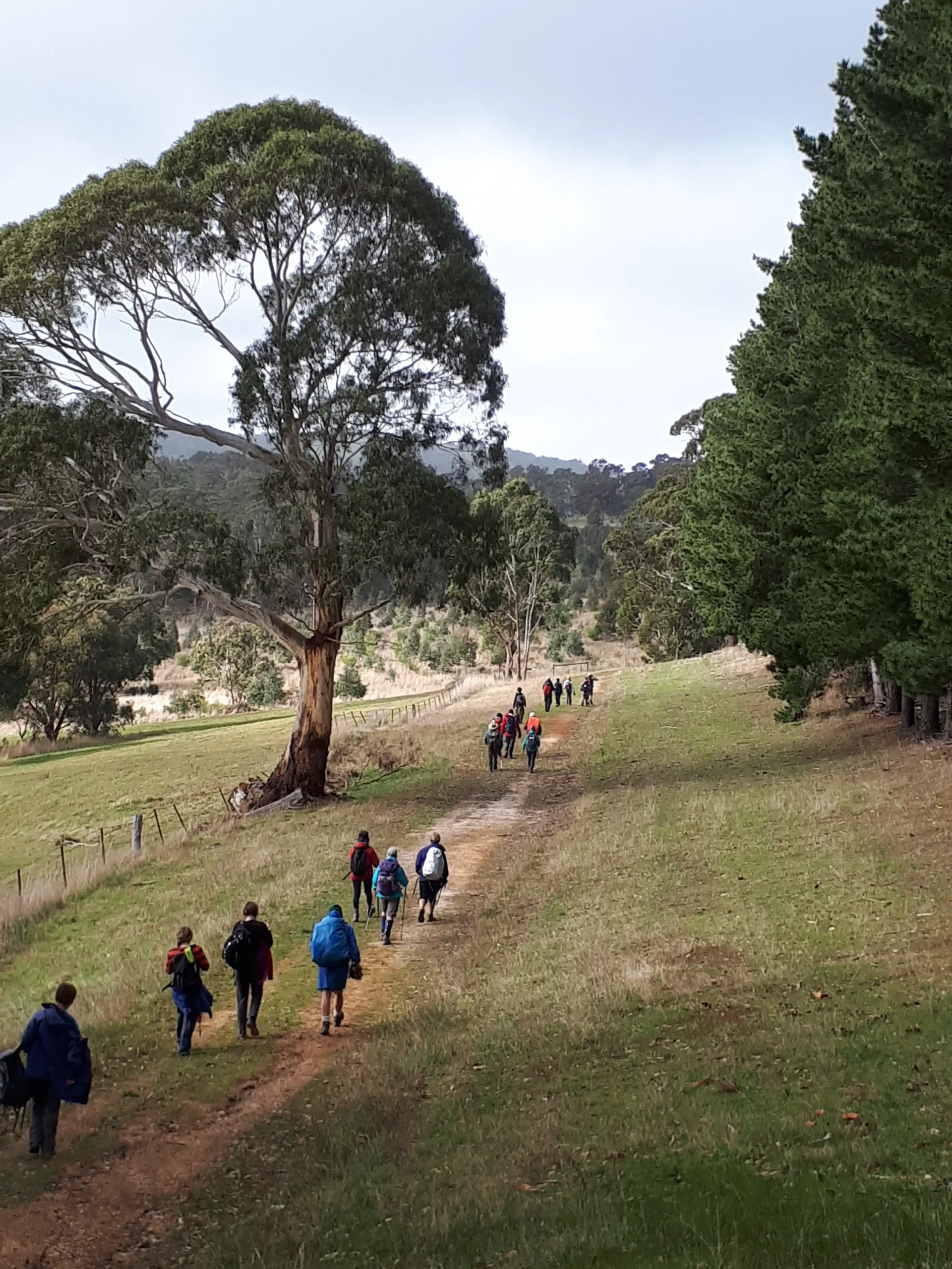

This picturesque walk takes you through gently undulating farmland, the northern parts of Kuitpo Pine Forest and through a significant site in South Australia’s gold rush history, the Jupiter Creek Goldfields.
The section of the Wild South Coast Way from Cape Jervis to Yapari Ngawanthi (Cliffs Campground) remains closed until further notice. Read more
The Friends AGM will be held on 22 April 2026. Join us to celebrate 40 years of the Heysen Trail. Read more
This picturesque walk takes you through gently undulating farmland, the northern parts of Kuitpo Pine Forest and through a significant site in South Australia’s gold rush history, the Jupiter Creek Goldfields.