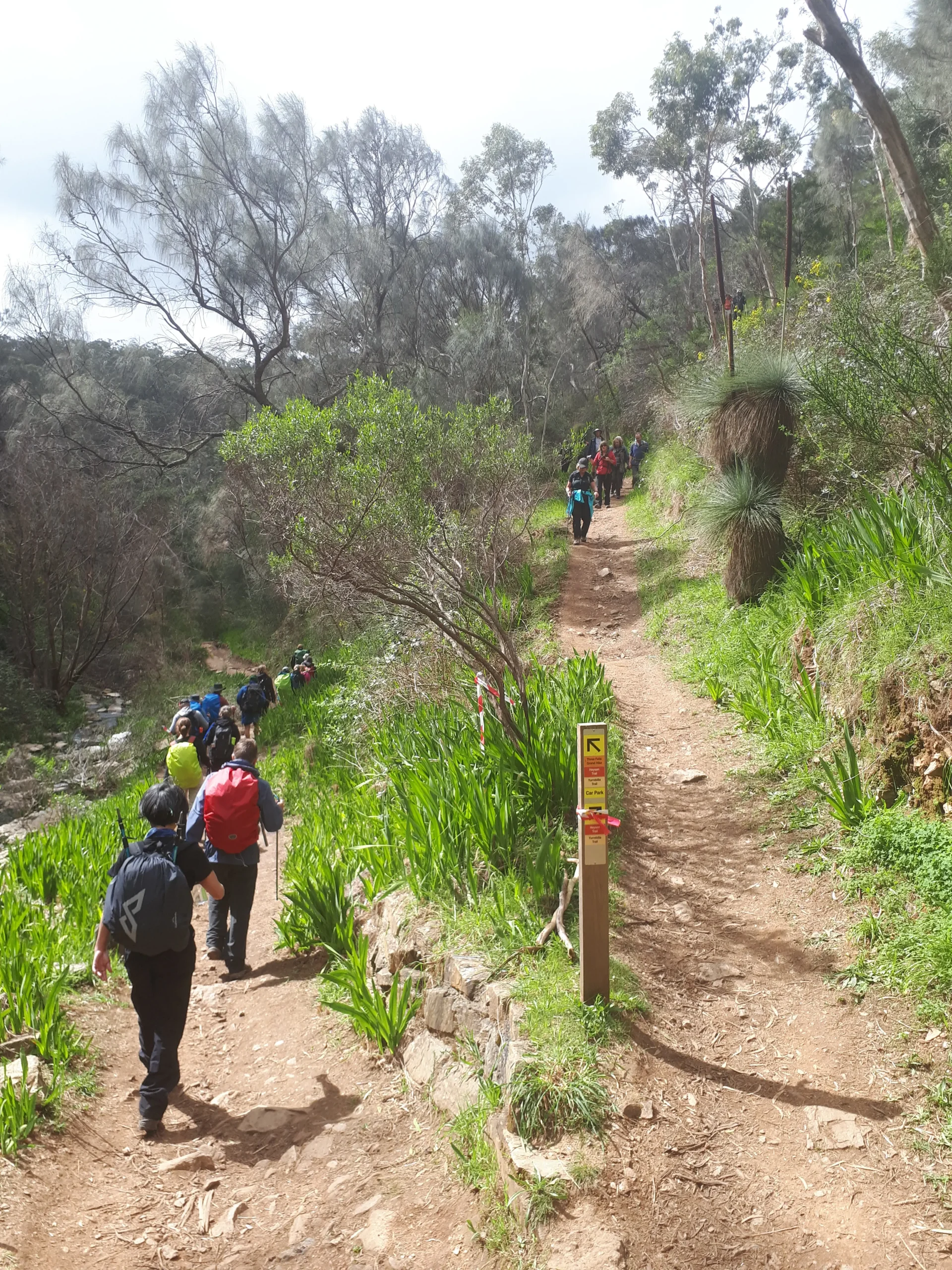
Section 13: Cleland to Montacute Heights

This spectacular section of the trail passes through the native bushland of Cleland National Park, Horsnell Gully and Morialta Conservation Parks and along roadsides, providing frequent vistas over Adelaide and the Hills.

Map & GPS Files

View map in full screen format.
View full featured Interative Map of the Heysen Trail.

Download GPX file for a GPS unit.
Download KML file for Google Earth/Maps.
Download full-featured GPX and/or KML files of the Heysen Trail.

Mapsheet 2B, Bridgewater Oval to Stone Hut Road

Southern Guidebook, chapter 3 map 4.
chapter 3 map 5.

Distance
26km
Location of Cleland
905 278
(290500 6127800 zone 54)
Latitude: -34.9707069 (34° 58' 14.5448")
Longitude: 138.7051810278 (138° 42' 18.6517")
View in Google Maps
Location of Montacute Heights
941 351
(294100 6135100 zone 54)
Latitude: -34.9056686583 (34° 54' 20.4072")
Longitude: 138.7463882667 (138° 44' 46.9978")
View in Google Maps