


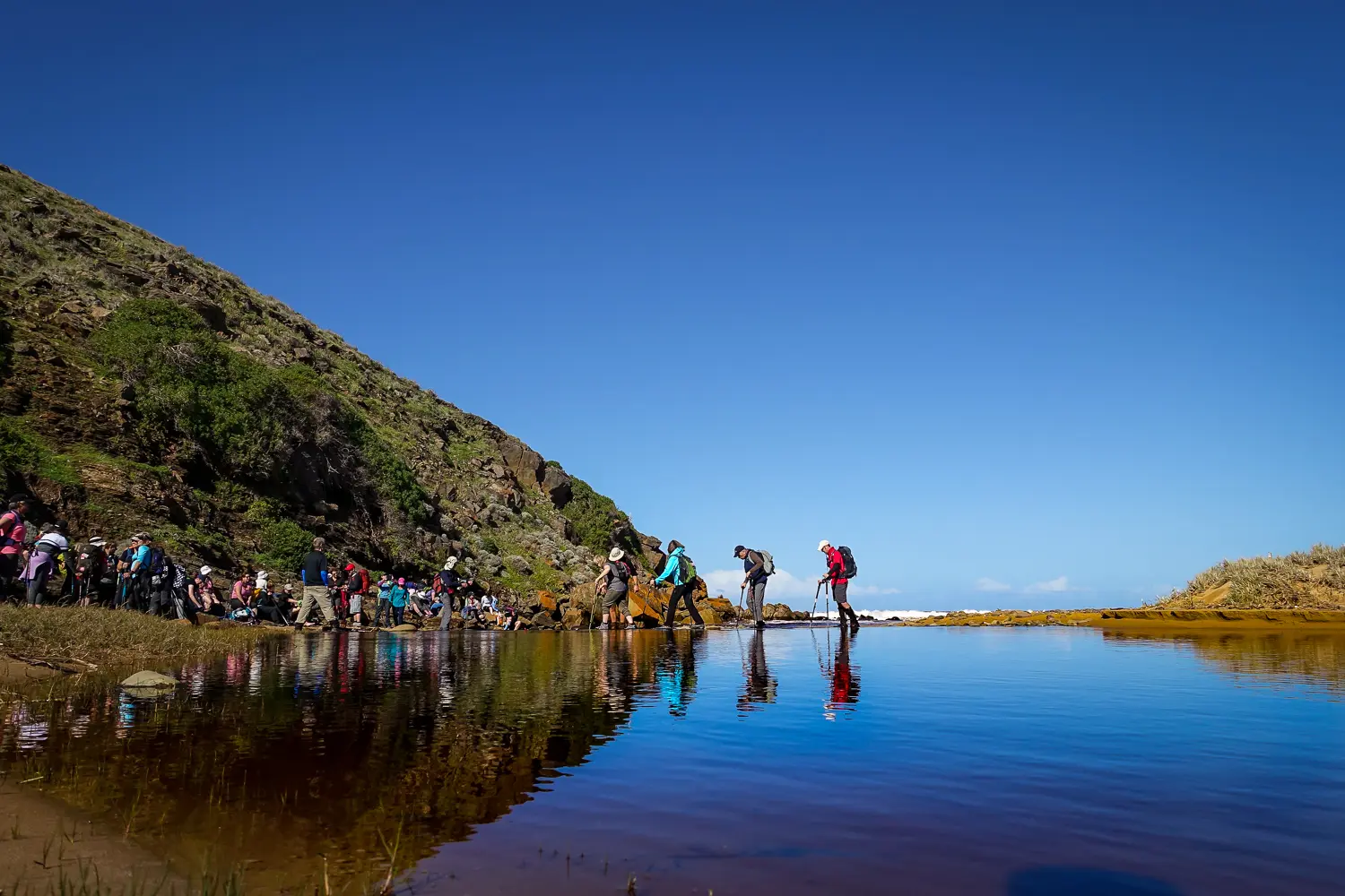
Between Balquhidder and Waitpinga you’ll enjoy picturesque farmland, cross Coolawang Creek and walk along the unspoilt, sandy Parsons and Waitpinga beaches. If you’re lucky you might also have the chance to spot whales.
The section of the Wild South Coast Way from Cape Jervis to Yapari Ngawanthi (Cliffs Campground) remains closed until further notice. Read more
The Friends AGM will be held on 22 April 2026. Join us to celebrate 40 years of the Heysen Trail. Read more
Between Balquhidder and Waitpinga you’ll enjoy picturesque farmland, cross Coolawang Creek and walk along the unspoilt, sandy Parsons and Waitpinga beaches. If you’re lucky you might also have the chance to spot whales.