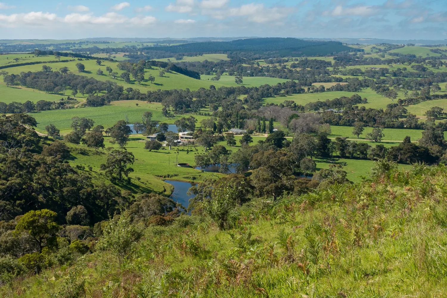
Section 7: Inman Valley to Myponga

Majestic gums line roadsides leading to the climb up Sugarloaf Hill where walkers are rewarded with spectacular rural views. The trail then leads into Myponga Conservation Park for more views and some testing undulations. Pretty farmland and quiet country roads complete this section.

Map & GPS Files

View map in full screen format.
View full featured Interative Map of the Heysen Trail.

Download GPX file for a GPS unit.
Download KML file for Google Earth/Maps.
Download full-featured GPX and/or KML files of the Heysen Trail.

Mapsheet 1C, Victor Harbor to Mount Cone

Southern Guidebook, chapter 2 map 3.
chapter 2 map 4.

Re-Routes
Distance
17km
plus extra distance of 2km
Location of Inman Valley
694 692
(269400 6069200 zone 54)
Latitude: -35.4940046306 (35° 29' 38.4167")
Longitude: 138.4578218861 (138° 27' 28.1588")
View in Google Maps
Location of Myponga
703 788
(270300 6078800 zone 54)
Latitude: -35.4077369194 (35° 24' 27.8529")
Longitude: 138.4704444278 (138° 28' 13.5999")
View in Google Maps