
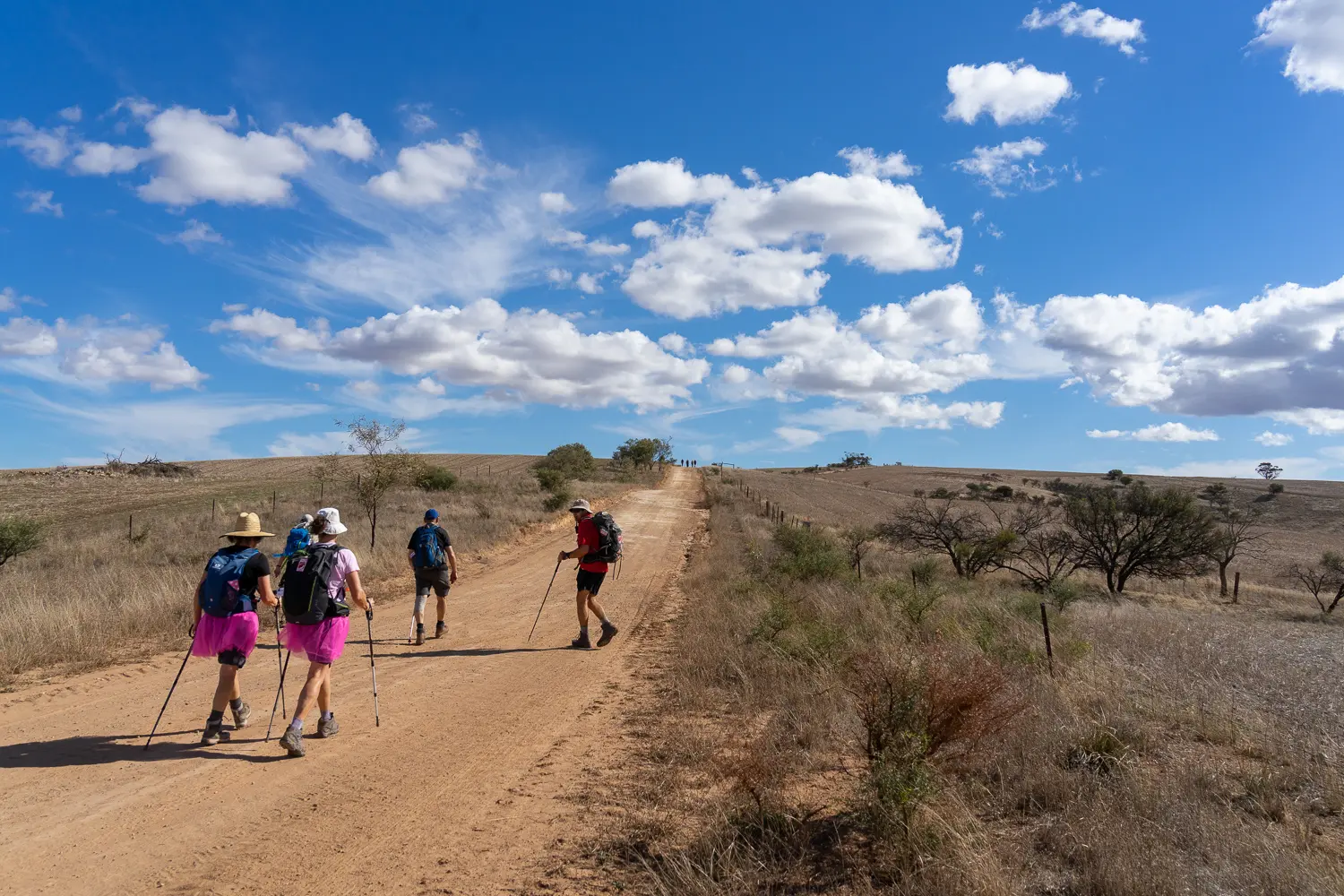


For most of this section you’ll follow gravel roads and a rollercoaster fire track through natural bushland towards the TV tower at The Bluff where you’ll be rewarded with spectacular views of Spencer Gulf and beyond.
The section of the Wild South Coast Way from Cape Jervis to Yapari Ngawanthi (Cliffs Campground) remains closed until further notice. Read more
The Friends AGM will be held on 22 April 2026. Join us to celebrate 40 years of the Heysen Trail. Read more
For most of this section you’ll follow gravel roads and a rollercoaster fire track through natural bushland towards the TV tower at The Bluff where you’ll be rewarded with spectacular views of Spencer Gulf and beyond.