Section 5: Waitpinga to Dump Road

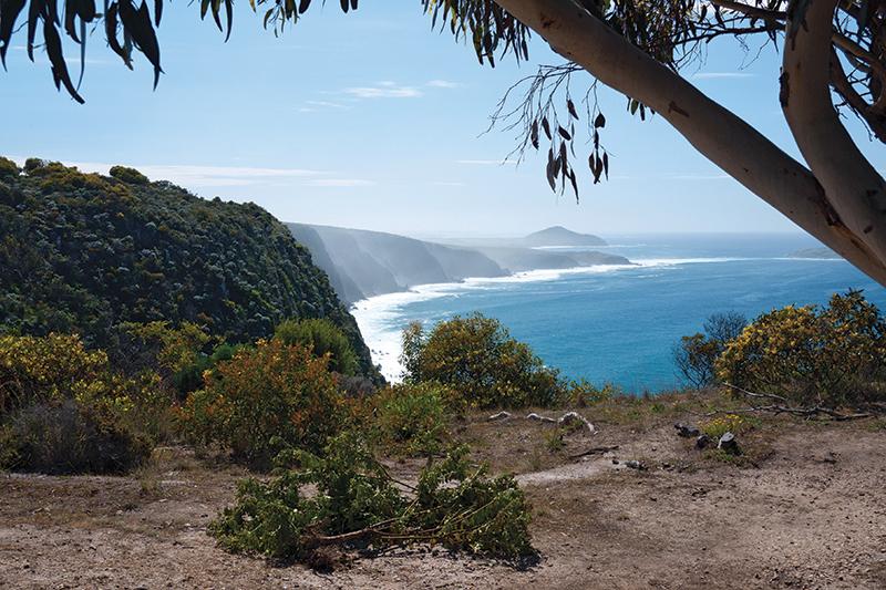
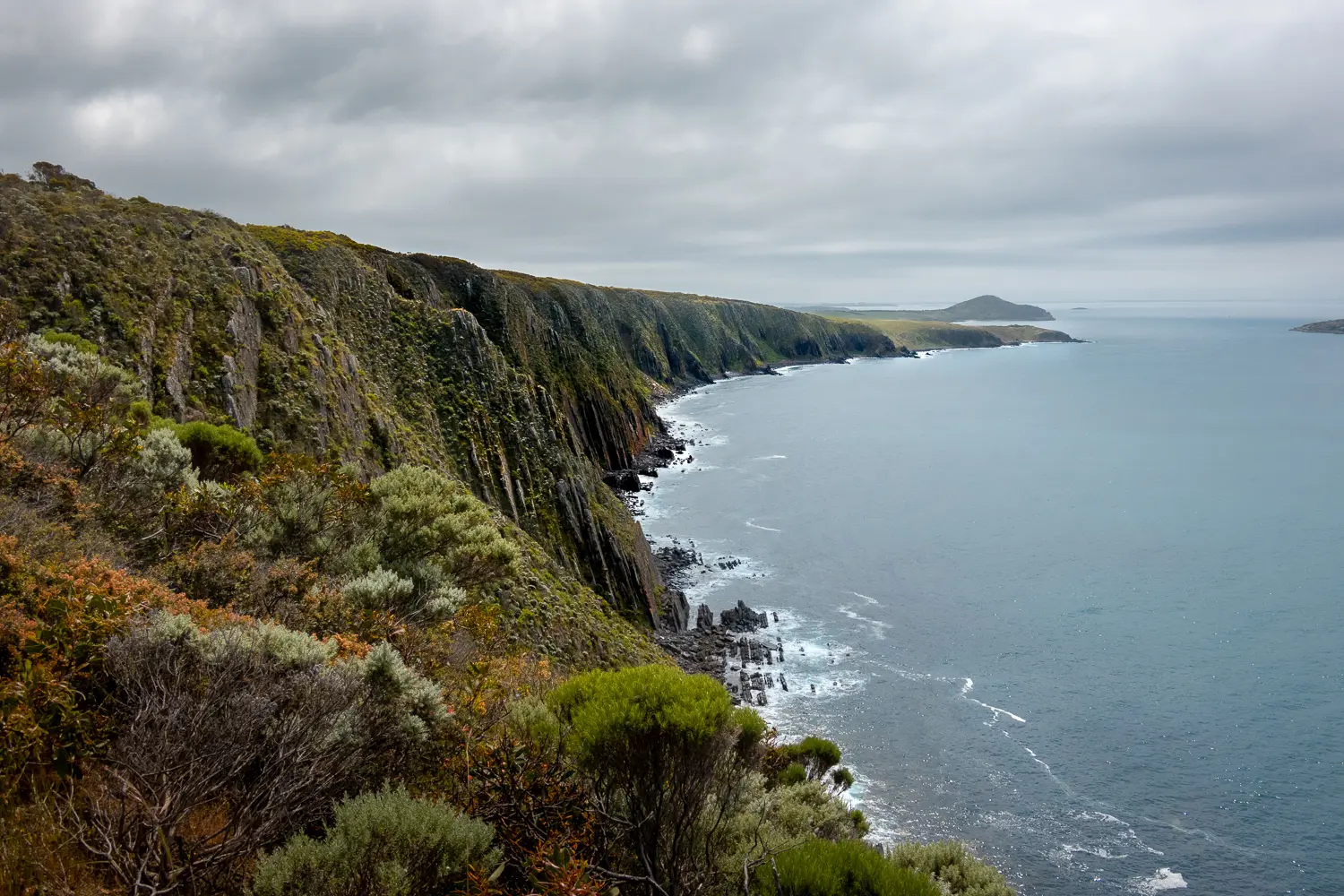
One of the many spectacular sections of the Trail, you’ll follow sandy tracks through the coastal scrub of Newland Head Conservation Park before you reach dramatic clifftops. You may see whales, seals, dolphins and the endangered white bellied sea eagle. Unless you are taking the spur trail to Victor Harbor, at Kings Beach you’ll head away from the coast, leaving the Wild South Coast Way to follow roads to begin your long journey north.

Quick stats
14 km
Map & GPS Files

View map in full screen format.
View full featured Interative Map of the Heysen Trail.

Download GPX file.
Download KML file for Google Earth/Maps.
Download full-featured GPX and/or KML files of the Heysen Trail.

Mapsheet 1B, Tunkalilla Beach to Victor Harbor

Re-Routes
Location of Waitpinga
736 538
(273600 6053800 zone 54)
Latitude: -35.628289 (35° 37' 41.8404")
Longitude: 138.499944 (138° 29' 59.7984")
View in Google Maps
Location of Dump Road
799 587
(279988 6058795 zone 54)
Latitude: -35.590139 (35° 35' 24.5004")
Longitude: 138.571628 (138° 34' 17.8608")
View in Google Maps