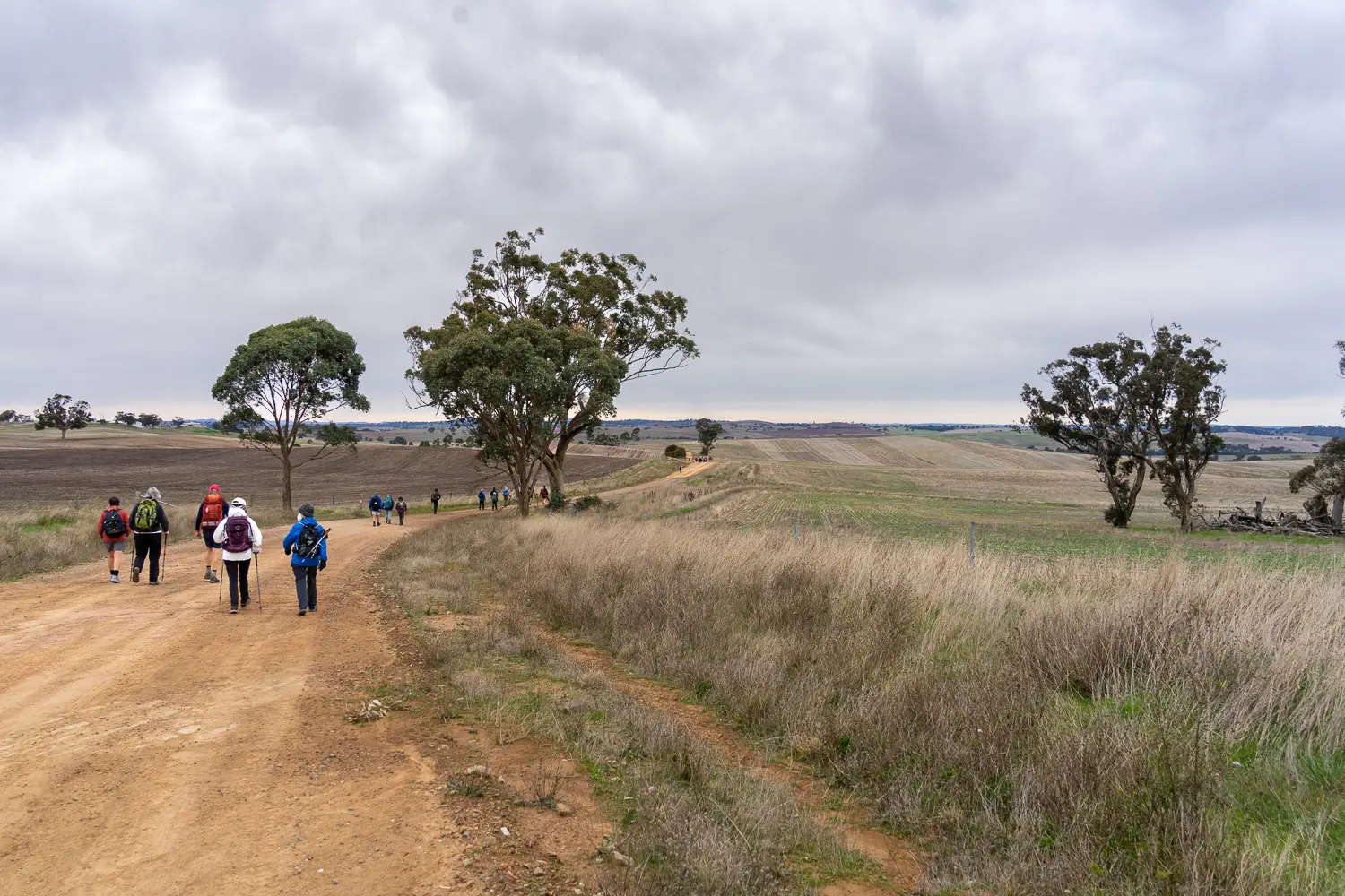
Section 41: White Park Road to Murraytown

Following the reroute of trail in in April 2021 of the section immediately to the south (Walk 40 commencing in Wirrabara Forest), the start point of this section has been relocated to commence at White Park Rd.

This section starts at the junction of White Park & Yellow Cutting Rds. The day is spent walking along back roads and road reserves through undulating farmland.

Map & GPS Files

View map in full screen format.
View full featured Interative Map of the Heysen Trail.

Download GPX file for a GPS unit.
Download KML file for Google Earth/Maps.
Download full-featured GPX and/or KML files of the Heysen Trail.

Mapsheet 6A, Wirrabara Forest to Melrose

Northern Guidebook, chapter 2 map 8.
chapter 2 map 9.

Distance
13.5km
Location of White Park Road
355 465
(235500 6346500 zone 54)
Latitude: -32.995188 (32° 59' 42.6768")
Longitude: 138.161677 (138° 9' 42.0372")
View in Google Maps
Location of Murraytown
410 531
(241000 6353100 zone 54)
Latitude: -32.9297141167 (32° 55' 46.9708")
Longitude: 138.2300899389 (138° 13' 48.3238")
View in Google Maps