Re-Routes
From time to time sections of the Heysen Trail are re-routed due to forestry operations, bushfires or trail upgrades.
View and print relevant re-routes for your guidebook edition on our Re-Routes page.
Detailed Campsite Information
The guidebooks only provide basic details of campsites, including icons of facilities.
From time to time campsites are upgraded, or moved, or new campsites are created. These will be noted on our Re-Routes page.
Detailed information about campsites, including photos, facilities, fees, access and feedback is available on our Accommodation page.
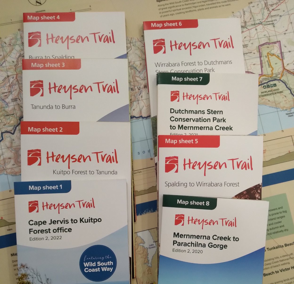
Trail Distances
The guidebooks only provide an overall distance of a chapter, and sometimes smaller hikes.
Detailed tables of distances between campsites is available on Trail Distances page.
Service Directory
The guidebooks list basic town facilities. Detailed town facilities including internet access, supermarkets, general stores and medical services are available from our Service Directory page.
Transport Services
The guidebooks do not list bus services. Details of bus services, how often they operate and contact details are available on our Transport & Buses page.
GPX / GPS Files
Files that can be downloaded onto a handheld GPS unit are available on our Maps & GPS page. We recommend hikers carry the official guidebook maps when hiking the trail.
1. Where We Deliver
Goods can be delivered throughout Australia and internationally. We use Australia Post to deliver packages, and they have access to 328 million delivery points worldwide.
If an order is placed directly in our physical store (rather than our online store), or via phone, other methods of delivery may be negotiable.
2. Australia Delivery Times
We endeavour to process orders within 3 business days.
Over the December-January period our Office is closed. However we will endeavour to process orders with 5 business days. Delivery will be made through Australia Post. During the checkout process you will be provided with delivery options such as normal and express delivery.
Standard Delivery (small deliveries)
| Delivery to |
Estimated delivery (business days) |
| Metropolitan areas of Adelaide |
2-3 days |
| Other capital cities |
3-4 days |
| South Australian country locations |
3-4 days |
| Country locations outside of South Australia |
4-5 days |
Refer to the Australia Post's Domestic Letters for more delivery locations and times.
Parcel Delivery
| Delivery to |
Estimated delivery (business days) |
| Metropolitan areas of Adelaide |
2 days |
| Melbourne |
3 days |
| Sydney & Canberra |
Between 3 to 4 days |
| Other capital cities |
Between 4 to 5 days |
| South Australian country locations |
up to 5 days |
Refer to Australia Post's Parcel Delivery for more delivery locations and times.
Express Post
The Express Post network covers 80% of Australian business addresses, private addresses and post office boxes. If your item is for an address outside this network, Australia Post will use the fastest possible transport links, but it won't be covered by their Next Day Guarantee.
| Delivery to |
Estimated delivery (business days) |
| Adelaide and suburbs, postcodes 5000-5199; 5800-5999; |
Next Day Guarantee |
| Most country centres throughout South Australia including Adelaide Hills, Barossa Valley, Murray Mallee, Port Augusta, Port Lincoln, Port Pirie, Riverland, South East, Whyalla and Yorke Peninsula, also Broken Hill (NSW) 2880. |
Next Day Guarantee |
| Other capital cities (except Darwin) |
Next Day Guarantee |
Refer to Australia Post's Express Post Delivery for more delivery locations and times.
3. International Delivery Times
To get an estimate of delivery times for international parcels, visit Australia Post's International Post Guide.
4. Cost of Delivery
Delivery costs are based upon Australia Post charges. On the cart or checkout page there is a Shipping Calculator.
5. Delivery Problems
If your package is not delivered within the above timeframes you should contact us.
1. Your Rights
We abide by the Australian Consumer Law, a national law introduced on 1 January 2011 covering all Australian shoppers, regardless of state or territory. By knowing your rights you can make informed choices and demand quality products and services.
2. Security Policy
We take steps to encrypt information transmitted between our website servers and your browser.
Secure payment transactions are enabled via NAB (National Australia Bank Ltd). We do not retain or store your credit card details.
Read more about security.
3. Privacy Policy
We value your right to privacy and take measures to protect personal information we may hold about you.
Read more about how we treat your information.