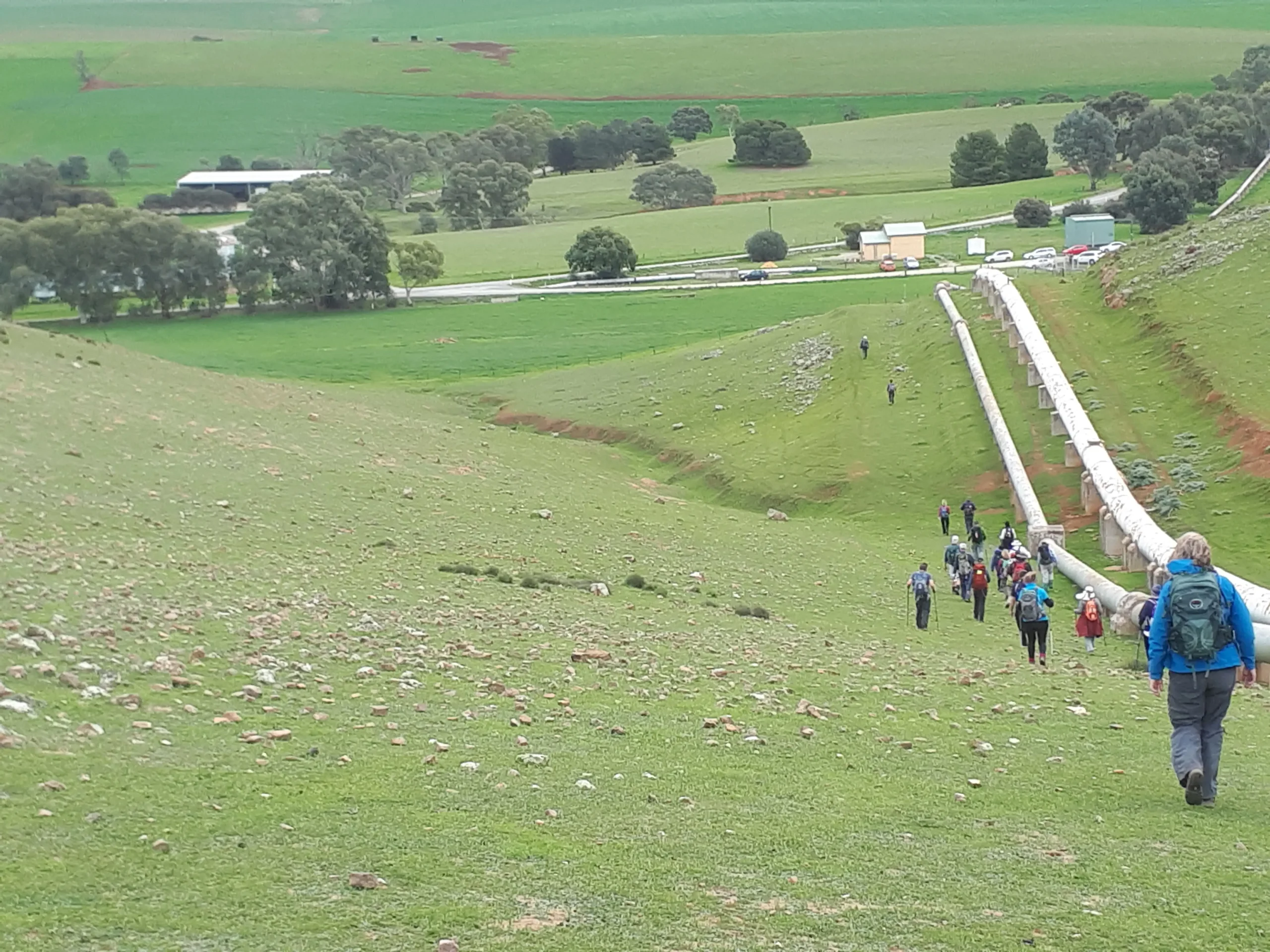
Section 33: Oban to Bundaleer Reservoir

Region: Mid North

This is a very flat, but unique walk that follows the Freshwater intake channel for Bundaleer Reservoir, only leaving it for a few km to go through Spalding. Walkers will see some fascinating examples of engineering from the early 1900s.

Map & GPS Files

View map in full screen format.
View full featured Interative Map of the Heysen Trail.

Download GPX file for a GPS unit.
Download KML file for Google Earth/Maps.
Download full-featured GPX and/or KML files of the Heysen Trail.

Mapsheet 4C, Hallett to Spalding

Southern Guidebook, chapter 6 map 11.
chapter 6 map 12.
chapter 1 map 1.

Re-Routes

Mapsheet 5A: Bundaleer Reservoir

View all Re-routes along the Heysen Trail.

Distance
20km
Location of Oban
810 882
(281000 6288200 zone 54)
Latitude: -33.522907 (33° 31' 22.4652")
Longitude: 138.642388 (138° 38' 32.5968")
View in Google Maps
Location of Bundaleer Reservoir
710 957
(271000 6295780 zone 54)
Latitude: -33.4533314 (33° 27' 11.993")
Longitude: 138.536394 (138° 32' 11.0184")
View in Google Maps