Section 38: Bowman Park to Mt Zion

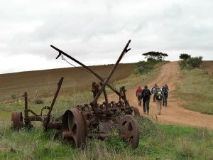
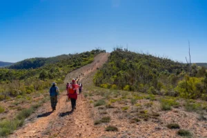
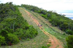
There’s quite a bit of road walking for this section which begins on Bowman Park Road. At Hughes Gap you’ll come to the southern-most hills of the Flinders Ranges. After a gradual climb to the top of the range you’ll be rewarded with views of Port Pirie and Spencer Gulf.

Quick stats
20km

A new re-route between Bowman Park and Hughes Gap was marked on 17th May 2021.

Walkers are now directed on a slightly longer route as shown on our Re-route page.

Due to this re-route the length of the trail between Bowman Park and Mt Zion has increased from 16 to 20 kms.
Map & GPS Files

View map in full screen format.
View full featured Interative Map of the Heysen Trail.

Download GPX file.
Download KML file for Google Earth/Maps.
Download full-featured GPX and/or KML files of the Heysen Trail.

Mapsheet 5B, Hiskeys Hut to Wirrabara Forest

Re-Routes
Location of Bowman Park
431 087
(243172 6308719 zone 54)
Latitude: -33.33008 (33° 19' 48.288")
Longitude: 138.24081 (138° 14' 26.916")
View in Google Maps
Location of Mt Zion
394 215
(239400 6321500 zone 54)
Latitude: -33.2140351111 (33° 12' 50.5264")
Longitude: 138.2039987722 (138° 12' 14.3956")
View in Google Maps