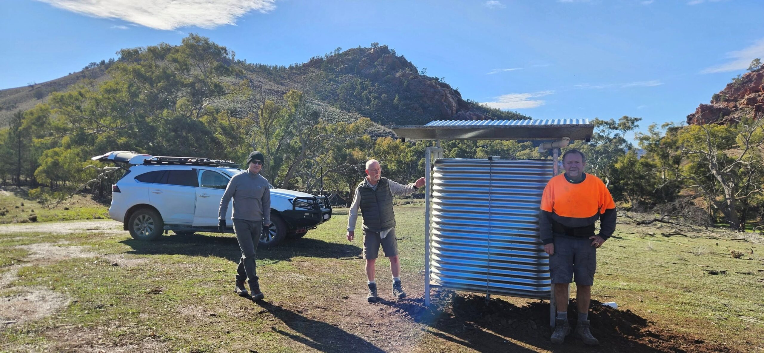
Argadells tank

Accommodation Option on the Heysen Trail

Accommodation
Water Tank
Water Tank Level

View latest reported tank level.

Report the tank level.

Mapsheet
Mapsheet 7A, Dutchmans Stern Conservation Park to north of Mt Arden
Guidebook
Northern Guidebook, chapter 5, map 4
Coordinates
Grid ref: 195 434
Longitude: 138.028274
Latitude: -32.110718
Download
Download GPX file for a GPS unit
Download KML file for Google Earth/Maps
Facilities
Water tank only - camping is not permitted.

View full featured Interative Map of the Heysen Trail - showing additional information layers such as Re-routes, Guidebook map outlines, photos and Fire Ban Districts.

Leave a Reply

Your email address will not be published. Required fields are marked *