View pdf map.
When entering Morialta Conservation Park from Norton Summit:
- when the creek water level us low, there is a 140m long low water crossing, and
- when the creek water levels are high there is a 1.6km long high water crossing alternate route along Colonial Drive and Colonial Track
Download gpx file.

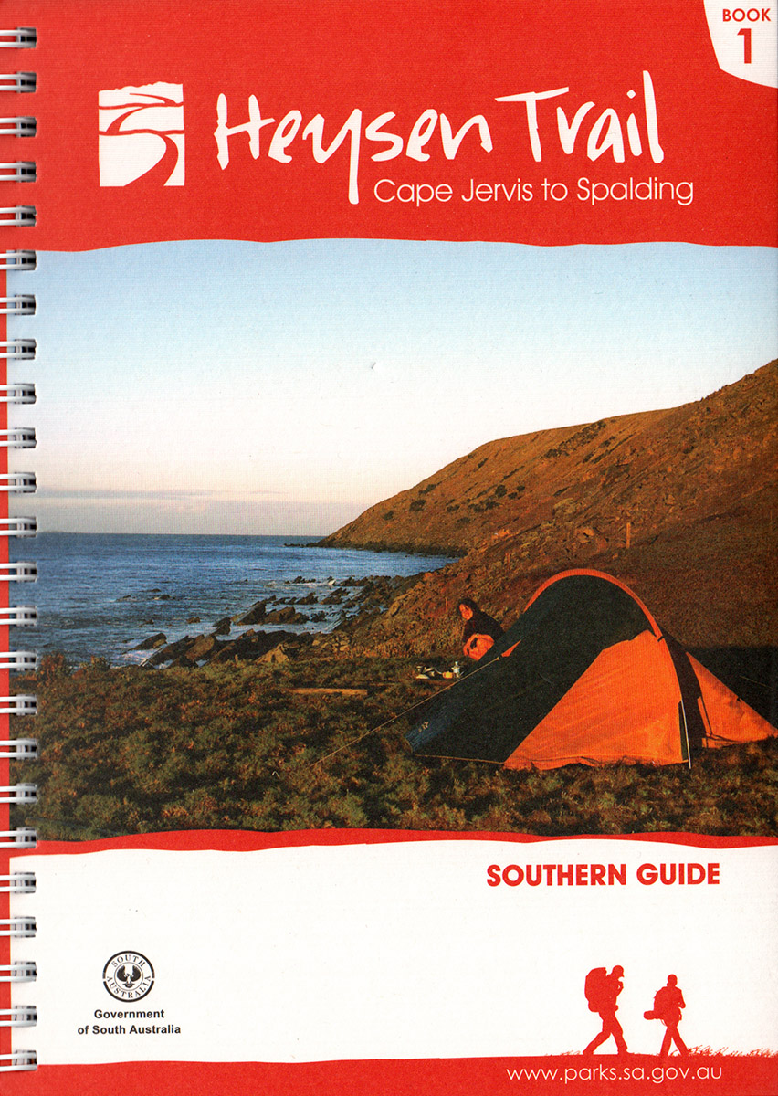
View all re-routes for the 2014 Southern Guidebook, 6th Edition