View pdf map.
The new route directs walkers away from the Kuitpo Tree Climb and car park.
Northbound it deviates from the original Trail at the Avenues Picnic Ground (Mapsheet 2A at grid reference 916 015), runs parallel with Black Nursery Road for 200 metres before crossing the road. It then enters the forest at grid reference 918 015. After a short meander through a dense eucalypt forest it rejoins the Trail just to the north of the tree climb area.
There is another 500 metre redirection of the trail just further north which bypasses the Chookarloo Campsite.
Northbound walkers leaving the eucalypt plantation surrounding the Kuitpo Tree Climb at grid reference 919019 now follow the northern edge of the plantation west to the boundary fence. Walkers will then cross Brookman Road via a step-over before heading north towards the pedestrian gate at grid reference 918020 before rejoining the Trail.
The two hike-in campsites at Chookarloo have been closed, but the other 21 campsites in this campground are still available.
Please be aware of increased road traffic when crossing Black Nursery Road and avoid entering the tree climb facility. There is now a cafe at the facility.
Download gpx file.
This re-reoute applies to: Section 10: Kyeema to Dashwood Gully
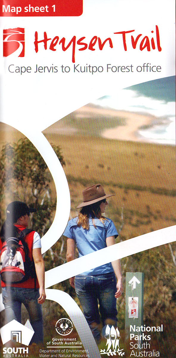
View all re-routes for the Mapsheet 1: Cape Jervis to Kuitpo Forest (Sept 2014)
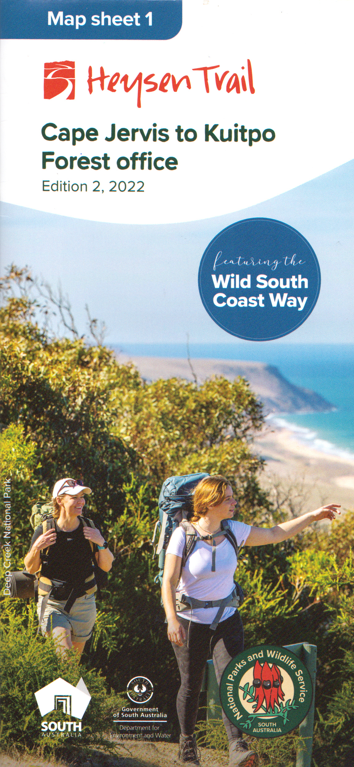
View all re-routes for the Mapsheet 1: Cape Jervis to Kuitpo Forest inc the Wild South Coast Way (Edition 2, 2022)
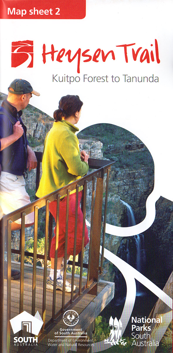
View all re-routes for the Mapsheet 2: Kuitpo Forest to Tanunda (Sept 2014)