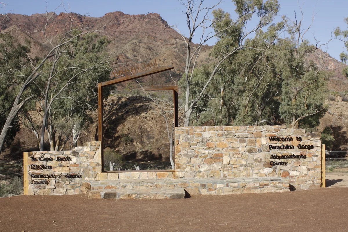
Section 61: Aroona Hut to Parachilna Gorge Trailhead

This final section of the Trail follows Aroona Valley to the watershed dividing it from the Parachilna Creek catchment to the north. You’ll then follow the valley between ABC and Heysen Ranges, past abandoned mines to the final stile at the Northern Trailhead. This walk is a pleasant amble, perfect for reflecting on the time and kilometres taken to get here.

Quick stats
18 km
Map & GPS Files

View map in full screen format.
View full featured Interative Map of the Heysen Trail.

Download GPX file.
Download KML file for Google Earth/Maps.
Download full-featured GPX and/or KML files of the Heysen Trail.

Mapsheet 8C, Bunyeroo Creek to Aroona

Location of Aroona Hut
695 372
(269500 6537200 zone 54)
Latitude: -31.2767245722 (31° 16' 36.2085")
Longitude: 138.5788432333 (138° 34' 43.8356")
View in Google Maps
Location of Parachilna Gorge Trailhead
645 528
(264500 6552800 zone 54)
Latitude: -31.13509803 (31° 8' 6.3529")
Longitude: 138.5300239 (138° 31' 48.086")
View in Google Maps