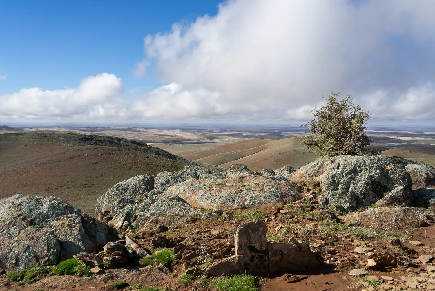


This section of the Trail goes through historic Burra, passing the old Redruth Gaol and other reminders of a bygone era. The Trail then takes you over the exposed hills of the North Mount Lofty Ranges to Wandallah.
The section of the Wild South Coast Way from Cape Jervis to Yapari Ngawanthi (Cliffs Campground) remains closed until further notice. Read more
The Friends AGM will be held on 22 April 2026. Join us to celebrate 40 years of the Heysen Trail. Read more
This section of the Trail goes through historic Burra, passing the old Redruth Gaol and other reminders of a bygone era. The Trail then takes you over the exposed hills of the North Mount Lofty Ranges to Wandallah.