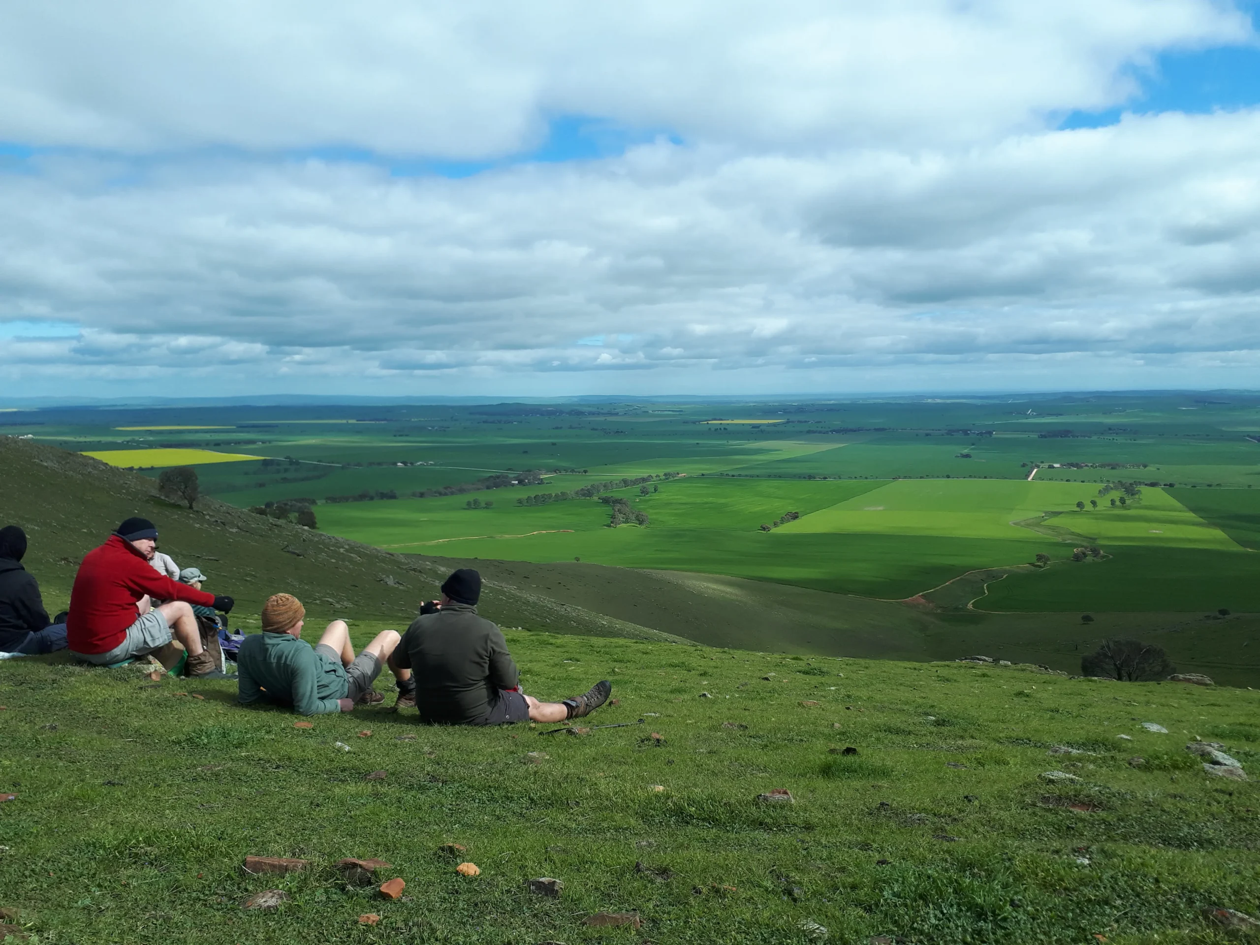
Section 35: Curnows Hut to Raeville

This is diverse walk through native scrub, Bundaleer pine forest and farmland. The ridgetops and testing climbs reward walkers with spectacular panoramic views.

Note that the re-route of the trail established in April 2021 to follow the Bundaleer Greenway has been removed. The original trail from Curnows Hut to New Campbell Hill has been reinstated.

Quick stats
20km
Map & GPS Files

View map in full screen format.
View full featured Interative Map of the Heysen Trail.

Download GPX file for a GPS unit.
Download KML file for Google Earth/Maps.
Download full-featured GPX and/or KML files of the Heysen Trail.

Mapsheet 5A, Spalding to Hiskeys Hut

Northern Guidebook, chapter 1 map 4.
chapter 1 map 5.

Location of Curnows Hut
726 102
(272600 6310200 zone 54)
Latitude: -33.3233617583 (33° 19' 24.1023")
Longitude: 138.5570676222 (138° 33' 25.4434")
View in Google Maps
Location of Raeville
633 066
(263300 6306600 zone 54)
Latitude: -33.3537969333 (33° 21' 13.669")
Longitude: 138.4562993083 (138° 27' 22.6775")
View in Google Maps