Section 48: Quorn to Dutchmans Stern

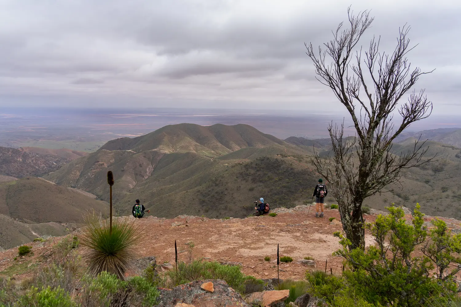
This section of the Trail passes through the outskirts of Quorn before entering the Dutchmans Stern Conservation Park. You’ll gradually climb towards the Dutchmans Stern, named because of its supposed resemblance to the stern of a Dutch vessel. It’s well worth taking a 6 km detour to walk to the Dutchmans Stern loop as the views are spectacular.

Quick stats
10km
plus extra distance of 6km
Map & GPS Files

View map in full screen format.
View full featured Interative Map of the Heysen Trail.

Download GPX file for a GPS unit.
Download KML file for Google Earth/Maps.
Download full-featured GPX and/or KML files of the Heysen Trail.

Mapsheet 6D, Woolshed Flat to Dutchmans Stern Conservation Park

Northern Guidebook, chapter 4 map 1.
chapter 4 map 2.

Location of Quorn
193 164
(219300 6416400 zone 54)
Latitude: -32.3541155111 (32° 21' 14.8158")
Longitude: 138.0172824778 (138° 1' 2.2169")
View in Google Maps
Location of Dutchmans Stern
807 227
(780700 6422700 zone 53)
Latitude: -32.2973582222 (32° 17' 50.4896")
Longitude: 137.980855625 (137° 58' 51.0803")
View in Google Maps

Start this section from the public carpark in the Dutchmans Stern Conservation Park. The carpark is at the end of the Dutchmans Stern Road into the park.