
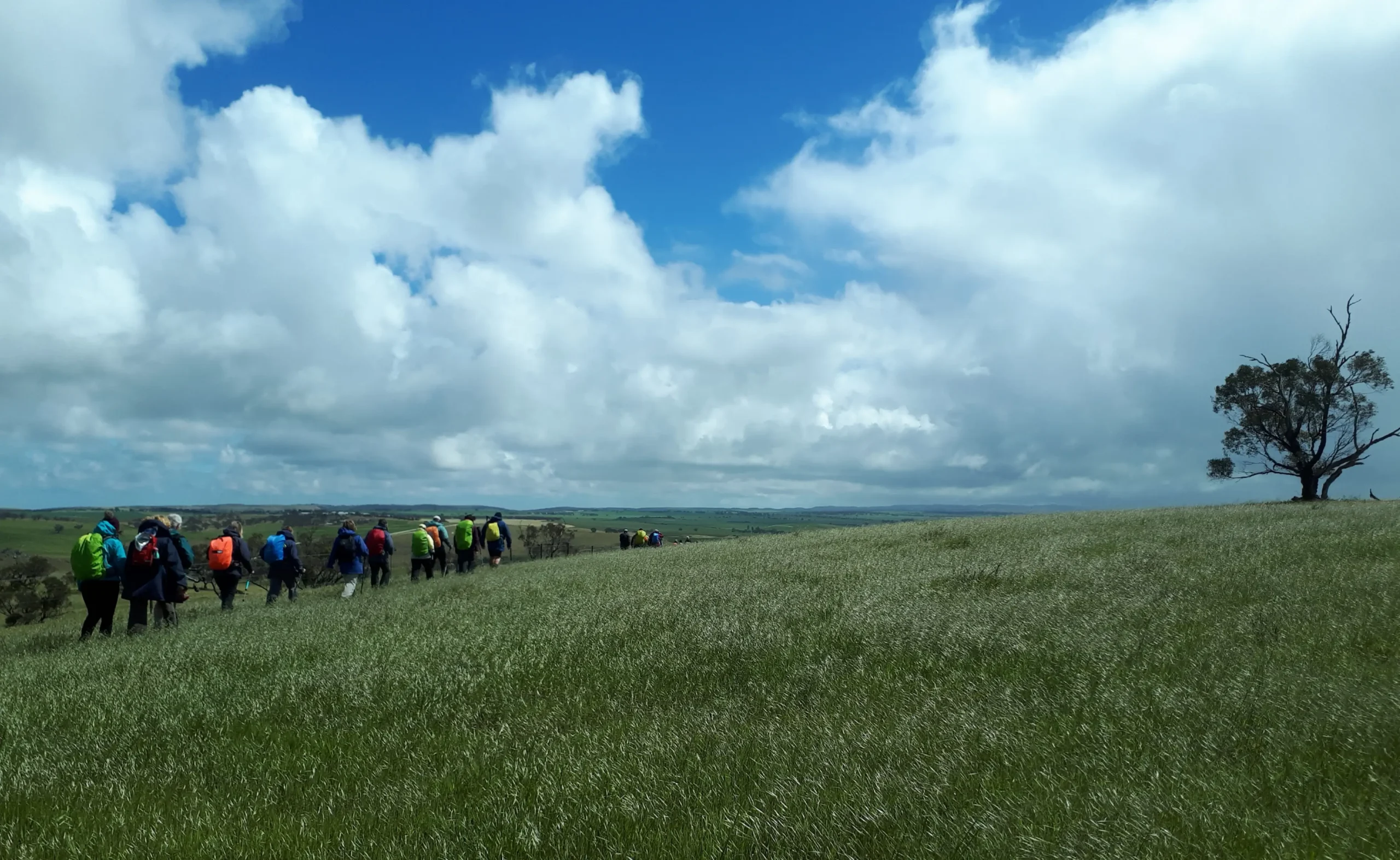


This walk follows dirt roads into historic Georgetown which was originally planned as a miniature Adelaide with the unrealised expectation that the railway would pass through. You’ll continue to witness the history of the Mid North as you walk past Hiskeys Hut occupied in the 1800s and 1900s by two generations of butchers. The Trail then follows undulating fence lines through Sams Hills.
The Georgetown re-route means that this section has been changed.
With the start point moved to the corner of Lang Road and Cloverhill-Abbeville Road (GR 067 050 … Lat/Long 33.36772 138.42766). the walk is reduced to 16km