Section 6: Tugwell Road to Inman Valley

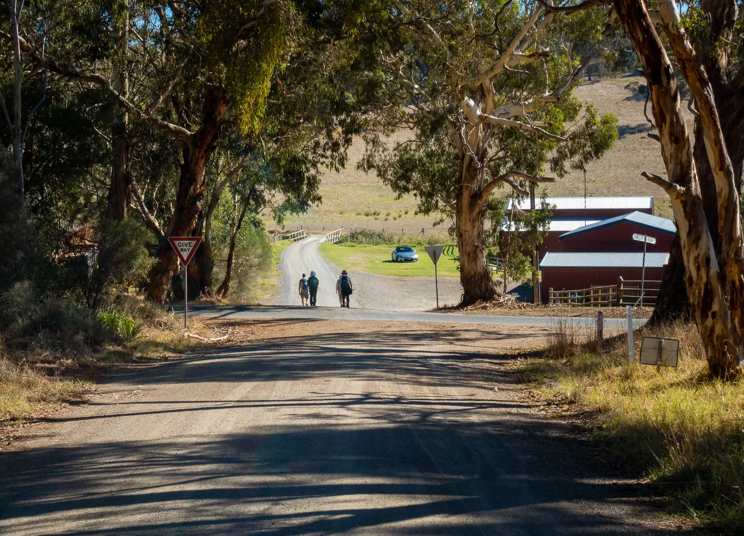
Along this part of the Trail you’ll be following country roads, farm fence lines, forest trails and attractive road reserves. Native orchids, grass trees, abundant birdlife and classic Fleurieu farmland views make this a walk to remember. Take time out to explore the great views from the Robinson Hill Camp Site.

Quick stats
15km
Map & GPS Files

View map in full screen format.
View full featured Interative Map of the Heysen Trail.

Download GPX file.
Download KML file for Google Earth/Maps.
Download full-featured GPX and/or KML files of the Heysen Trail.

Mapsheet 1B, Tunkalilla Beach to Victor Harbor;
Mapsheet 1C, Victor Harbor to Mount Cone

Re-Routes
Location of Tugwell Road
789 617
(278900 6061700 zone 54)
Latitude: -35.5637287611 (35° 33' 49.4235")
Longitude: 138.5604196917 (138° 33' 37.5109")
View in Google Maps

There is very limited parking where the trail crosses Tugwell Road.

Larger groups should park on the verge at Glassenbury Drive corner of Tugwell Road.

This creates a 1.5km walk out from trail head.

Location of Inman Valley
694 692
(269400 6069200 zone 54)
Latitude: -35.4940046306 (35° 29' 38.4167")
Longitude: 138.4578218861 (138° 27' 28.1588")
View in Google Maps