
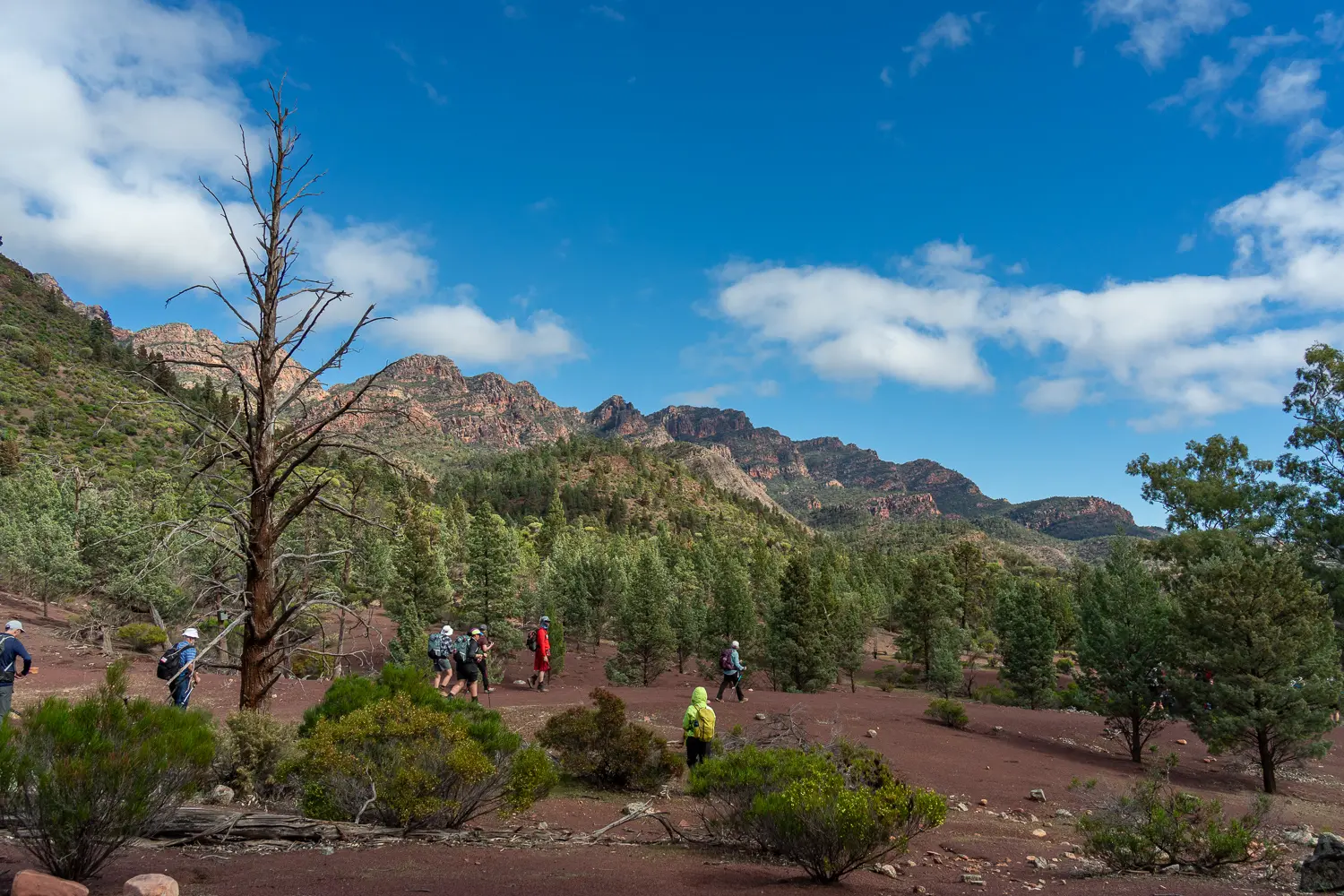
This pretty walk is entirely within the Ikara - Flinders Ranges National Park, with much of the day spent following the Wilcolo Track between the ABC range and the towering peaks of Wilpena Pound.
The section of the Wild South Coast Way from Cape Jervis to Yapari Ngawanthi (Cliffs Campground) remains closed until further notice. Read more
The Friends AGM will be held on 22 April 2026. Join us to celebrate 40 years of the Heysen Trail. Read more
This pretty walk is entirely within the Ikara - Flinders Ranges National Park, with much of the day spent following the Wilcolo Track between the ABC range and the towering peaks of Wilpena Pound.