Section 21: Hamilton to Peters Hill

Region: Mid North

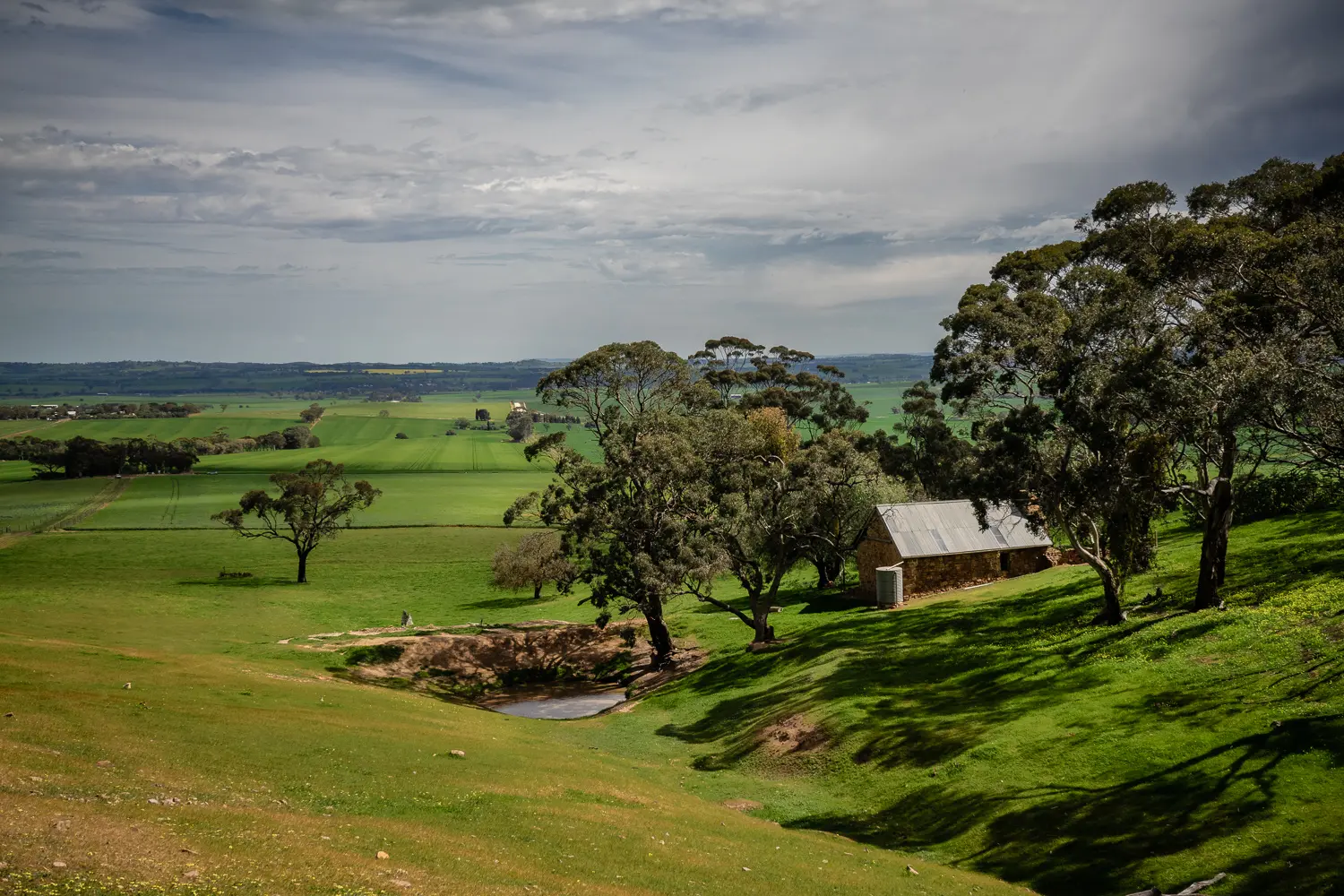
This section of the Trail follows backroads and road reserves of open scrubland, before a short up Peters Hill, where walkers are rewarded with pretty vistas over the farmlands of the lower Mid North

Please note the temporary Maryvale reroute that is currently in place changes the start point tor this walk.

The new end point is at the intersection of Hydedale and Cornvale Rds (HT Sheetmap 3A, Grid Reference 033 100).

The embedded Interactive Map has not yet been updated to reflect this change.

Refer to re-route notice:

Mapsheet 3B: Maryvale re-route south of Hamilton

Map & GPS Files

View map in full screen format.
View full featured Interative Map of the Heysen Trail.

Download GPX file for a GPS unit.
Download KML file for Google Earth/Maps.
Download full-featured GPX and/or KML files of the Heysen Trail.

Mapsheet 3B, Kapunda to Marrabel Golf Club

Southern Guidebook, chapter 5 map 2.
chapter 5 map 3.

Distance
16km
plus extra distance of 1 kmkm
Location of Hamilton
033 100
(303300 6210000 zone 54)
Latitude: -34.232767 (34° 13' 57.9612")
Longitude: 138.864416 (138° 51' 51.8976")
View in Google Maps
Location of Peters Hill
026 167
(302600 6216700 zone 54)
Latitude: -34.1719991111 (34° 10' 19.1968")
Longitude: 138.8582884333 (138° 51' 29.8384")
View in Google Maps