
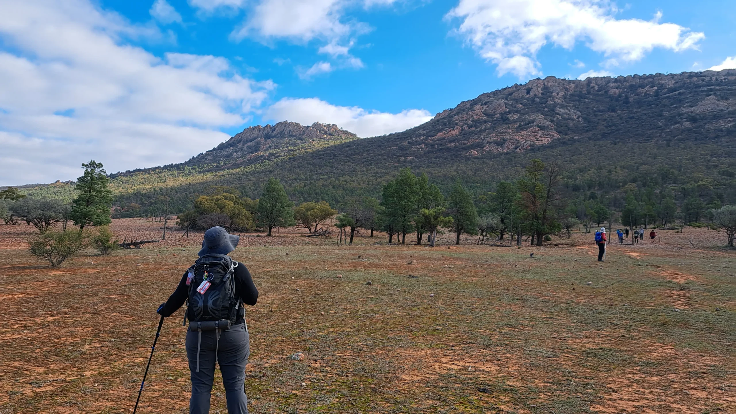


This is a long but fairly easy walk, initially along vehicle tracks, then over open grazing land along the face of Yappala Range and past the historic Mount Elm school site to the Jarvis Hill carpark.
The section of the Wild South Coast Way from Cape Jervis to Yapari Ngawanthi (Cliffs Campground) remains closed until further notice. Read more
The Friends AGM will be held on 22 April 2026. Join us to celebrate 40 years of the Heysen Trail. Read more
This is a long but fairly easy walk, initially along vehicle tracks, then over open grazing land along the face of Yappala Range and past the historic Mount Elm school site to the Jarvis Hill carpark.