Section 53: Calabrinda Creek to Jarvis Hill

August 2020, section numbers altered:

  1. Sections previously numbered 51 to 55 have been renumbered to accomodate what was previously Section 50, from Eyre Depot to Buckaringa, to be split into two smaller more manageable sections: Section 50 Eyre Depot to Warren Gorge, and Section 51 Warren Gorge to Buckaringa. So what was Section 51 is now Section 52, and what was 52 now 53, and what was 53 now 54, and what was 54 now 55.
  2. Sections previously numbered 55 and 56 have been combined into Section 56, from Mt Little Station to Moralana Scenic Drive.

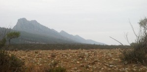
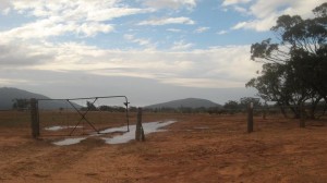
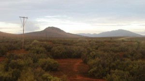
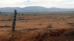
This is a long but fairly fast walk, initially along vehicle tracks, then over open grazing land along the face of Yappala Range and past the historic Mt Elm school site to Jarvis Hill carpark.
Map & GPS Files

View map in full screen format.
View full featured Interative Map of the Heysen Trail.

Download GPX file for a GPS unit.
Download KML file for Google Earth/Maps.
Download full-featured GPX and/or KML files of the Heysen Trail.

Mapsheet 7C, Willochra Creek to Mount Elm Camp Site;
Mapsheet 7D, Mount Elm Camp Site to Mernmerna Creek

Northern Guidebook, chapter 4 map 8.
chapter 4 map 9.
chapter 4 map 10.
chapter 4 map 11.

Distance
26.5km
Location of Calabrinda Creek
349 530
(234900 6453000 zone 54)
Latitude: -32.0281365944 (32° 1' 41.2917")
Longitude: 138.1930200694 (138° 11' 34.8722")
View in Google Maps
Location of Jarvis Hill
505 669
(250500 6466900 zone 54)
Latitude: -31.9064143667 (31° 54' 23.0917")
Longitude: 138.3616315528 (138° 21' 41.8736")
View in Google Maps