


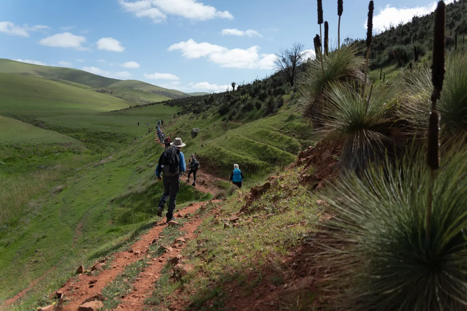
Passing Bundaleer Reservoir and the permanently flowing Bundaleer Creek, the Trail joins the Bundaleer northern intake channel at the aqueduct. After leaving the channels at the weir you’ll follow Never Never Creek past remnant Yacca forests and grazing land towards Bundaleer Forest.
The Georgetown re-route means that this section has been changed.
The re-route will make this walk 22km long with the end point moved to the corner of Lang Road and Cloverhill-Abbeville Road (GR 067 050 … Lat/Long 33.36772 138.42766). From there the route resumes as walk section 36.
The re-route does not pass Curnows Hut.