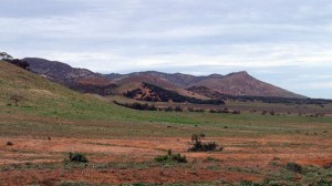
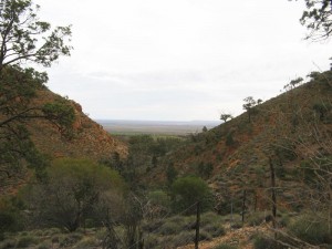
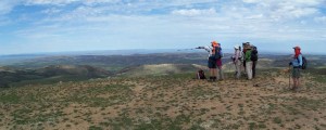
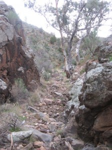
This is a deceptively tough walk with a bit of everything, from undulating fire tracks with spectacular views, a rocky gorge and a gibber strewn floodplain. You’ll walk from Dutchmans Stern to Eyre Depot which was historically significant as a staging post for explorer Edward John Eyre’s expeditions into the Flinders Ranges in the 1830s and 1840s.
Quick stats
Distance
19 km
plus extra distance of 1.5 km (refer to Walker / Vehicle access notes in the Location sections below.)
Map & GPS Files
Mapsheet
Mapsheet 7A, Dutchmans Stern Conservation Park to north of Mt Arden
Location of Dutchmans Stern
Grid Reference
807 227
Coordinates
Latitude: -32.2973582222 (32° 17' 50.4896")
Longitude: 137.980855625 (137° 58' 51.0803")
View in
Google Maps
Walker / Vehicle access
The closest access point to the trail is the public carpark in the Dutchmans Stern Conservation Park at the end of the Dutchmans Stern Road.
Location of Eyre Depot
Grid Reference
765 301
Coordinates
Latitude: -32.231732 (32° 13' 54.2352")
Longitude: 137.934157 (137° 56' 2.9652")
View in
Google Maps
Walker / Vehicle access
You’ll need to get permission to access Eyre Depot at least 72 hours ahead. Please text Tom Smart, Station Manager on 0403 895 055 and leave
your name
the date you plan to enter
the number in your walking party.
There is no vehicle access via Thompson Gap which is often shown on Google maps. You’ll need to drive via Stirling North and Port Augusta along the Pichi Richi Pass to get to Wilkatana Station, 40km north of Port Augusta on Warrakimbo Road. The station tracks to Eyre Depot are signposted.
The track crossing on Depot Creek is only passable in high clearance 4WDs so other vehicles will need to stop at GR 753 307 (Lat/long -32.226394 137.920892). Walkers will need to leave the Trail at the gate at GR 764 302 (lat/long -32.231653 137.933279) on mapsheet 7A (near the memorial). This will approximately 1.5 km to the walk.


