Section 54: Jarvis Hill to Leigh Creek Rd (Old Wonoka)

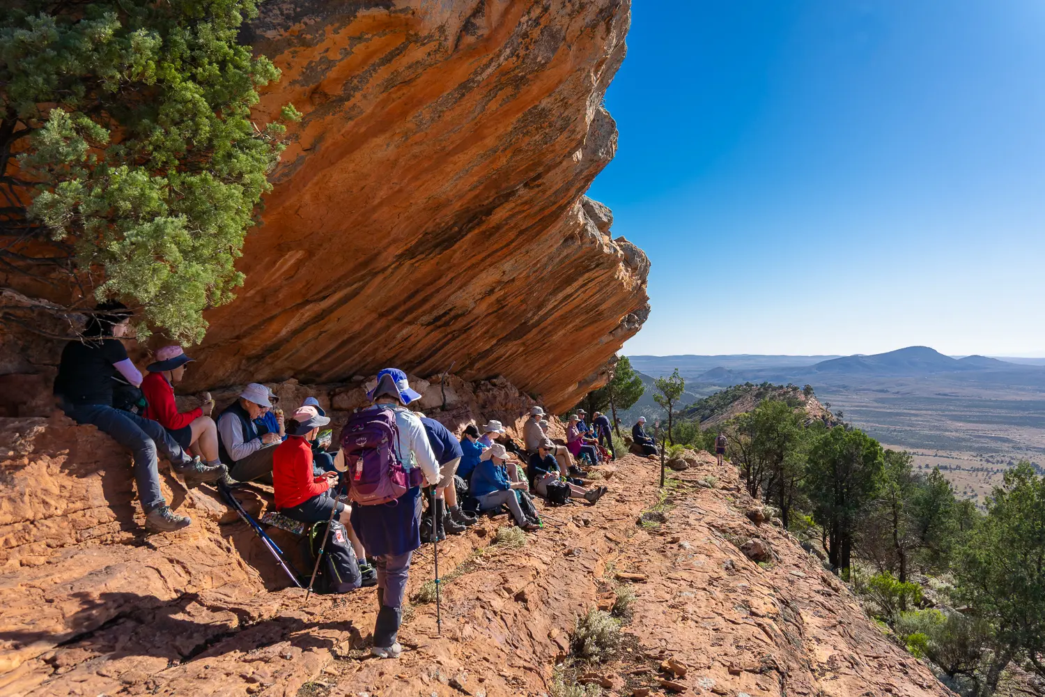
One of the gems of the Trail, along this ridge walk you’ll get spectacular views and many photo opportunities. It is a short walk, but may still take you up to four hours because of the terrain and photo stops. You’ll end the day at the site of Wonoka, proclaimed as a town in 1883 and commemorated with a memorial marking the town and its pioneers.

Quick stats
10km
Map & GPS Files

View map in full screen format.
View full featured Interative Map of the Heysen Trail.

Download GPX file.
Download KML file for Google Earth/Maps.
Download full-featured GPX and/or KML files of the Heysen Trail.

Mapsheet 7D, Mount Elm Camp Site to Mernmerna Creek

Location of Jarvis Hill
505 669
(250500 6466900 zone 54)
Latitude: -31.9064143667 (31° 54' 23.0917")
Longitude: 138.3616315528 (138° 21' 41.8736")
View in Google Maps
Location of Leigh Creek Rd (Old Wonoka)
533 740
(253300 6474000 zone 54)
Latitude: -31.8430359611 (31° 50' 34.9295")
Longitude: 138.3930177472 (138° 23' 34.8639")
View in Google Maps