August 2020, section numbers altered:
- Sections previously numbered 51 to 55 have been renumbered to accomodate what was previously Section 50, from Eyre Depot to Buckaringa, to be split into two smaller more manageable sections: Section 50 Eyre Depot to Warren Gorge, and Section 51 Warren Gorge to Buckaringa. So what was Section 51 is now Section 52, and what was 52 now 53, and what was 53 now 54, and what was 54 now 55.
- Sections previously numbered 55 and 56 have been combined into Section 56, from Mt Little Station to Moralana Scenic Drive.
Region: Flinders Ranges
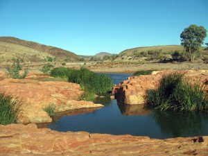
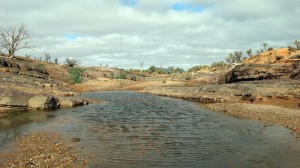
A classic Flinders Ranges creek walk, the whole day spent in Wonoka Creek which has been the site of several major floods over the years.


