Section 20: Kapunda to Hamilton

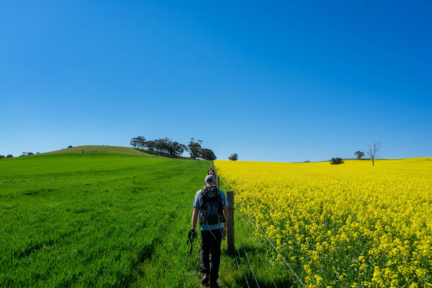
This section provides a pleasant walk following backroads, tracks and fence lines through the undulating farmland of the Lower North.

Quick stats
24km

Please note the temporary Maryvale reroute that is currently in place changes the end point tor this walk.

The new end point is at the intersection of Hydedale and Cornvale Rds (HT Sheetmap 3B, Grid Reference 033 100).

  • The interactive map has not been updated yet to show the temporary Maryvale reroute that changes the end point for this section. Please take extra care as you walk along Marrabel Road.


Map & GPS Files

View map in full screen format.
View full featured Interative Map of the Heysen Trail.

Download GPX file.
Download KML file for Google Earth/Maps.
Download full-featured GPX and/or KML files of the Heysen Trail.

Mapsheet 3A, Tanunda to Kapunda

Re-Routes
Location of Kapunda
077 976
(307759 6197617 zone 54)
Latitude: -34.344949 (34° 20' 41.8164")
Longitude: 138.909979 (138° 54' 35.9244")
View in Google Maps

Small parties of walkers can choose any point in Kapunda as their start/end point.

To avoid parking congestion large groups should park at 5 Hancock Rd; on the roadside near sale yards / silo.
They will then need to use the corner of Hancock Rd and James Street as their start/end point, giving them a 500m walk back to the cars.

Location of Hamilton
033 100
(303300 6210000 zone 54)
Latitude: -34.232767 (34° 13' 57.9612")
Longitude: 138.864416 (138° 51' 51.8976")
View in Google Maps