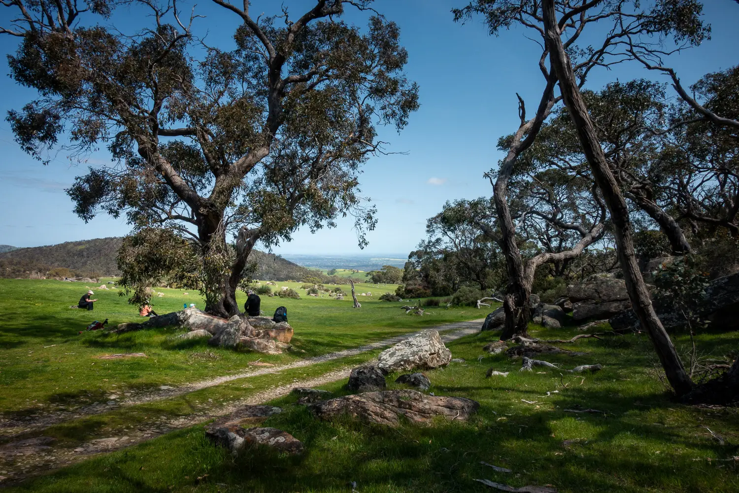
Section 18: Pewsey Vale to Tanunda

This is an easy section of trail that runs through the northern section of Mt Crawford forests and through the native bushland of Kaiser Stuhl Conservation Park with its unusual weathered rock features. Panoramic vistas over the Barossa Valley and Lower North are a highlight.

Map & GPS Files

View map in full screen format.
View full featured Interative Map of the Heysen Trail.

Download GPX file for a GPS unit.
Download KML file for Google Earth/Maps.
Download full-featured GPX and/or KML files of the Heysen Trail.

Mapsheet 2D, Tower Hill to Tanunda

Southern Guidebook, chapter 4 map 2.
chapter 4 map 3.
chapter 4 map 4.
chapter 4 map 5.

Distance
24km
Location of Pewsey Vale
163 672
(316300 6167200 zone 54)
Latitude: -34.6206380028 (34° 37' 14.2968")
Longitude: 138.994 (138° 59' 38.4")
View in Google Maps
Location of Tanunda
120 829
(312076 6182979 zone 54)
Latitude: -34.477664 (34° 28' 39.5904")
Longitude: 138.953684 (138° 57' 13.2624")
View in Google Maps