


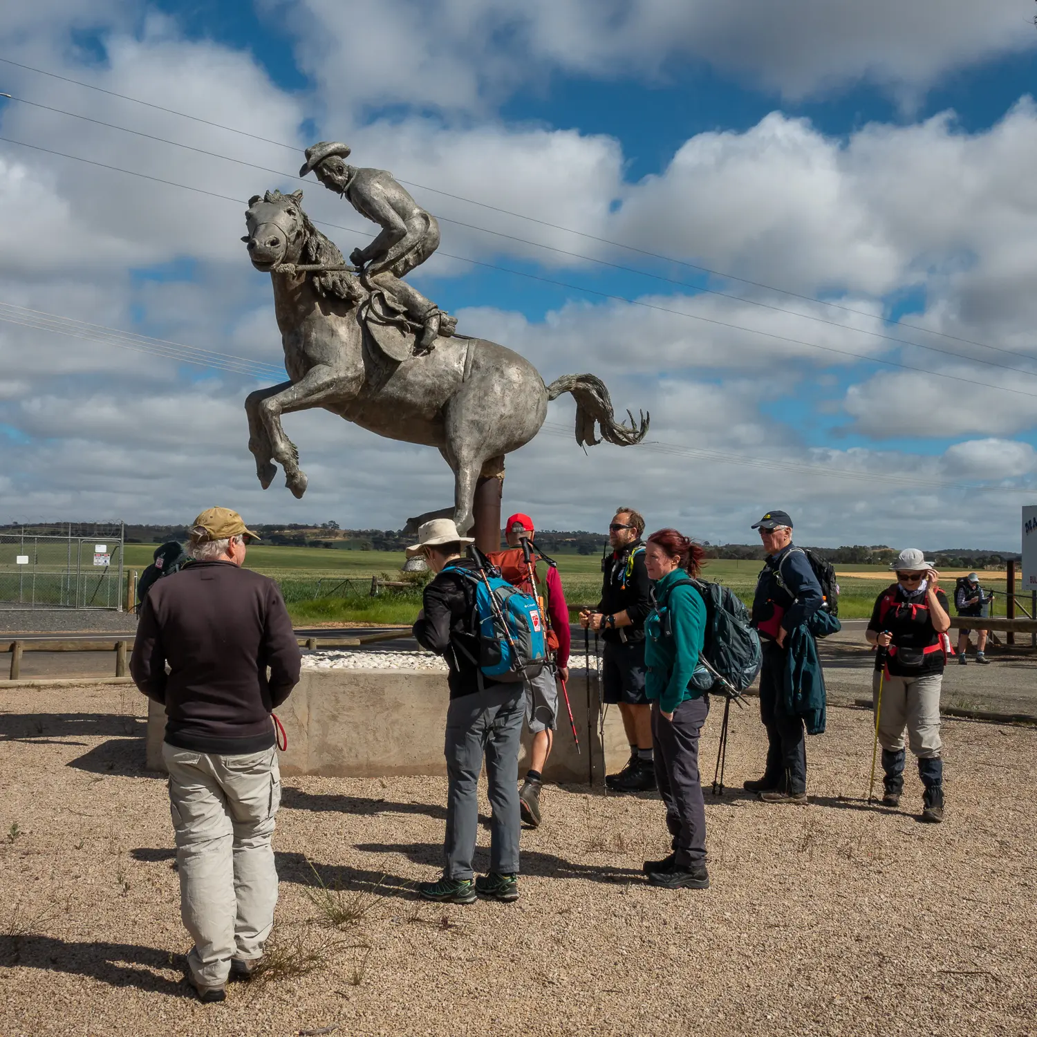
You’ll enjoy a pleasant walk along back roads through undulating farmland to the southern end of Tothill Range, taking in the town of Marrabel and its memorial to the famous buckjumper 'Curio'.
- Please avoid livestock on the Trail immediately north of Peters Hill Road.
After crossing Peters Hill Road the Trail follows a road reserve that has been leased to a farmer. Please avoid sheep grazing on the property to ensure they are not stressed and so that lambs and ewes are not separated. - Ford crossing the Light River at Marrabel.
The Light River ford on Tarnma Road 200 m east of Marrabel Road may be impassible when the river is flowing strongly. If you’re walking west on Tarnma Road (towards Marrabel) in wet weather you should turn left onto Links Road and right onto Golf Course Road, continuing for 2 kms to Marrabel Road before turning right until returning to the marked trail at Tarnma Road. This could save you a long backtrack or a very wet wade through the water.