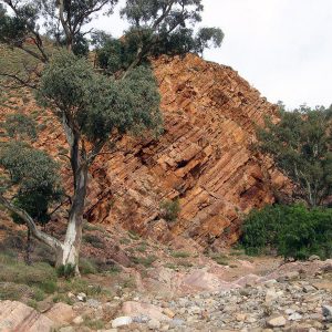
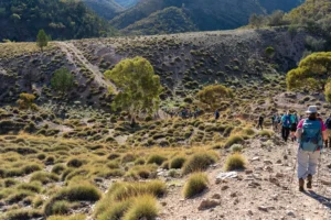
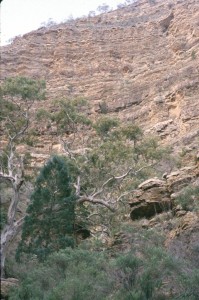
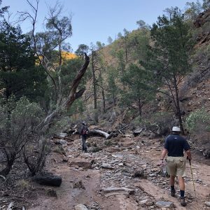
After climbing back into the range you’ll enter Depot Creek which winds its way northwards. The gradual climb up the creek bed with its waterfalls and rocky sections may make your progress very slow. Walkers can choose to use the spur trail to Warren Gorge at grid reference 795 346 ('Peter's Corner') or continue following the creek to Mount Arden South campsite.
Quick stats
Distance
8.4 km
plus extra distance of 6.5 km (refer to Walker / Vehicle access notes in the Location sections below.)
Map & GPS Files
Mapsheet
Mapsheet 7A, Dutchmans Stern Conservation Park to north of Mt Arden
Location of Eyre Depot
Grid Reference
765 301
Coordinates
Latitude: -32.231732 (32° 13' 54.2352")
Longitude: 137.934157 (137° 56' 2.9652")
View in
Google Maps
Walker / Vehicle access
You’ll need to get permission to access Eyre Depot at least 72 hours ahead. Please text Tom Smart, Station Manager on 0403 895 055 and leave
your name
the date you plan to enter
the number in your walking party.
There is no vehicle access via Thompson Gap which is often shown on Google maps. You’ll need to drive via Stirling North and Port Augusta along the Pichi Richi Pass to get to Wilkatana Station, 40km north of Port Augusta on Warrakimbo Road. The station tracks to Eyre Depot are signposted.
The track crossing on Depot Creek is only passable in high clearance 4WDs so other vehicles will need to stop at GR 753 307 (Lat/long -32.226394 137.920892). Walkers will need to leave the Trail at the gate at GR 764 302 (lat/long -32.231653 137.933279) on mapsheet 7A (near the memorial). This will approximately 1.5 km to the walk.
Location of Warren Gorge
Grid Reference
177 354
Coordinates
Latitude: -32.1821 (32° 10' 55.56")
Longitude: 138.006333 (138° 0' 22.7988")
View in
Google Maps
Walker / Vehicle access
Vehicles: From Quorn, drive 19.7 km along the Arden Vale to the Warren Gorge Access Road. Warren Gorge is on land leased to the Flinders Ranges Council. Entry fees are payable via self-registration at the entrance to the Gorge (cash only) or at the Flinders Ranges Visitors Information Centre , Railway Terrace Quorn. Walkers using Warren Gorge as an access point to the Heysen Trail are not required to pay access fees.
Walkers: The spur to Warren Gorge begins at grid reference 795 346 (Lat/Long -32.190924, 137.965761). The exit at Warren Gorge is via the turnstile located adjacent to the creek at the northern end of the access road. This will add 5 km to the walk.


