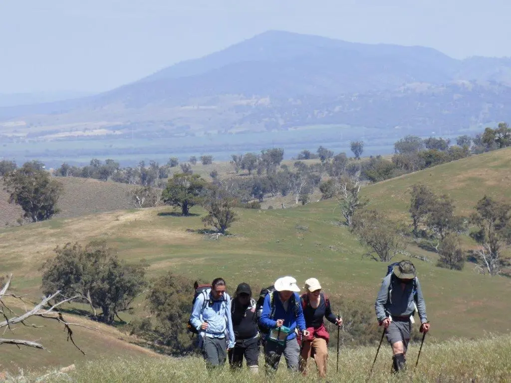
Starting with a steep climb out of Horrocks Pass to the ridge, the Trail traverses exposed, gibber littered hills and farmland. You’ll be rewarded with views over the Willochra Plain and Spencer Gulf.
Quick stats
Distance
19 km
plus extra distance of 4.5 km (refer to Walker / Vehicle access notes in the Location sections below.)
Map & GPS Files
Mapsheet
Mapsheet 6B, Melrose to Wilmington
Location of Horrocks Pass
Grid Reference
221 845
Coordinates
Latitude: -32.642204 (32° 38' 31.9344")
Longitude: 138.037587 (138° 2' 15.3132")
View in
Google Maps
Location of Broadview
Grid Reference
214 974
Coordinates
Latitude: -32.52537 (32° 31' 31.332")
Longitude: 138.03369 (138° 2' 1.284")
View in
Google Maps
Walker / Vehicle access
At Broadview the Trail passes through a private sheep property. Vehicle access is via the Gunyah Road, 18 km north of Wilmington or 30 km south of Quorn and then along Broadview Road.
Contact Ben Bury 0427 820 696 for permission to walk through this section.
Contact Roger and Janet Crawford (8667 5228 or 0429 900 227) for permission to park at Broadview Homestead. Please park near the sheds to the north away from the homestead. Please consider making a donation at the site to assist with the cost of maintaining this access.
Please leave all gates as you find them.
Walkers should leave the Trail at the gate at GR 214 974 (mapsheet 6C Lat/Long: -32.52537 138.03369 ) and follow the gully (not the station track) to the homestead.
A draft gps track of this access route is available here