

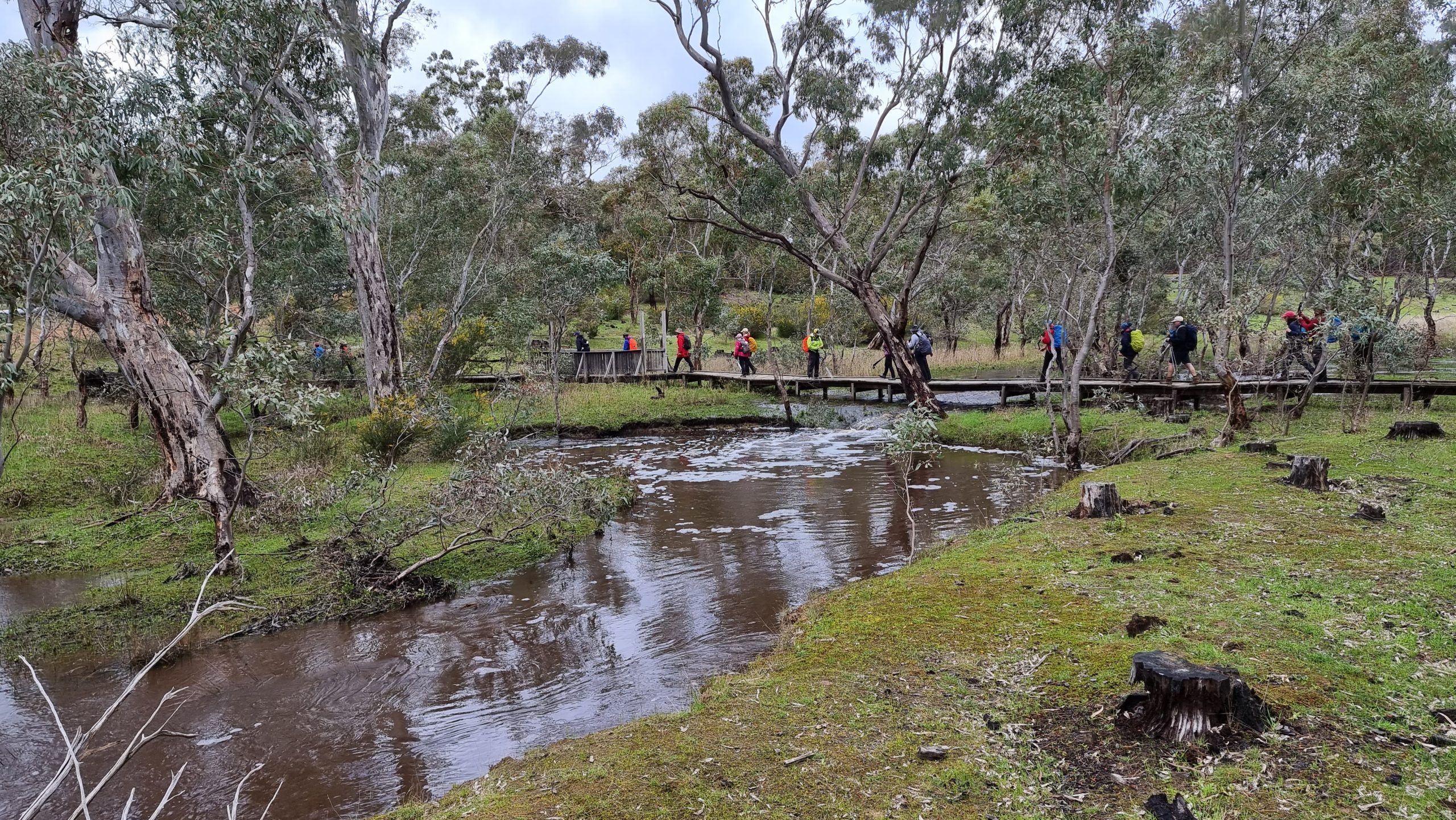
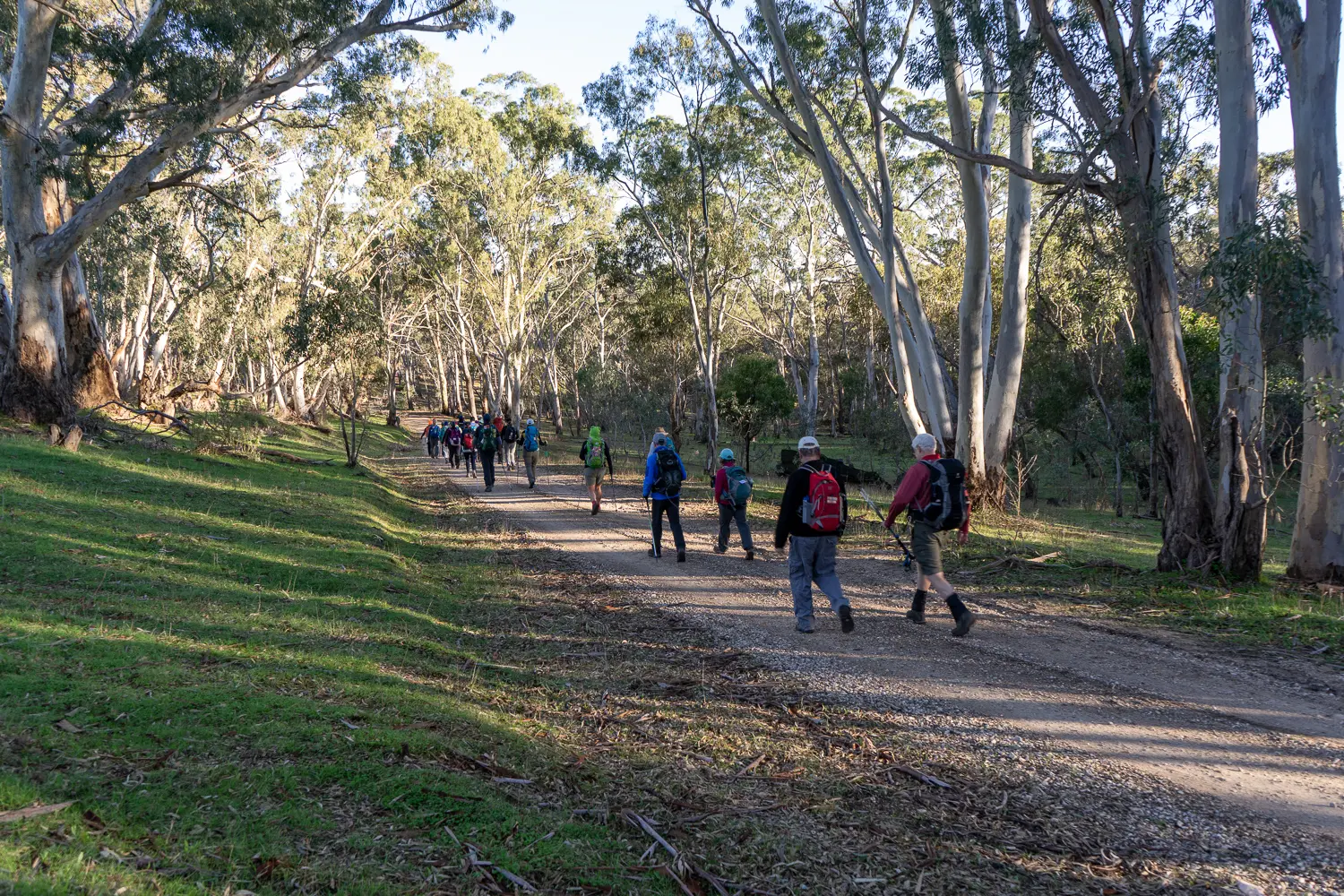
On this picturesque and varied walk you’ll pass through several sections of Mount Crawford pine forest and the natural bushland of Warren Conservation Park and Little Mount Crawford.
The section of the Wild South Coast Way from Cape Jervis to Yapari Ngawanthi (Cliffs Campground) remains closed until further notice. Read more
The Friends AGM will be held on 22 April 2026. Join us to celebrate 40 years of the Heysen Trail. Read more
On this picturesque and varied walk you’ll pass through several sections of Mount Crawford pine forest and the natural bushland of Warren Conservation Park and Little Mount Crawford.