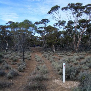
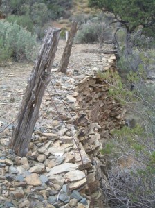
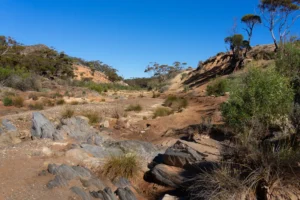
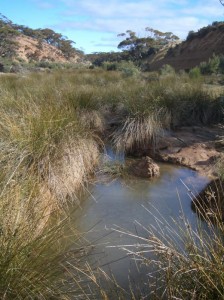
This section passes through Caroona Creek Conservation Park and Tourilie Gorge, one of the lesser-known gems of the Trail with its ancient geology set in gorgeous landscapes of dry creek beds. Look out for the remnants of an old bullock track cut through the rocky Gorge.
Quick stats
Distance
25.5 km
plus extra distance of 0.75 km (refer to Walker / Vehicle access notes in the Location sections below.)
Map & GPS Files
Mapsheet
Mapsheet 4A, Burra to Caroona Creek Conservation Park;
Location of Newikie Creek
Grid Reference
200 920
Coordinates
Latitude: -33.496398 (33° 29' 47.0328")
Longitude: 139.062353 (139° 3' 44.4708")
View in
Google Maps
Walker / Vehicle access
The Heysen Trail near Newikie Creek should be accessed from the north via Dust Hole Creek Road. This is a dry weather road ONLY.
From Burra, take the Barrier Highway/A32 for 15 km to Mount Bryan. On the northern outskirts of Mount Bryan, take the Mount Bryan East Road for 13km then turn right onto White Field Road. Continue for about 6km but be aware that the descent down into the big creek and out the other side can be treacherously slippery and boggy when damp or wet. At the junction after the creek, turn right onto Dust Hole Creek Road. Continue on through the first gate and stop at the second gate, above Newikie Creek. There will be a 750m walk-in/walk-out to/from the Heysen Trail for walkers.
Only 4WD vehicles should continue through the second gate and attempt crossing the ford at Newikie Creek. Once again, be aware that the descent down into Newikie Creek and out the other side can be treacherously slippery and boggy when damp or wet and is often severely rutted.”
Location of Dares Hill Summit Rd
Grid Reference
183 014
Coordinates
Latitude: -33.4113746806 (33° 24' 40.9489")
Longitude: 139.0459648444 (139° 2' 45.4734")
View in
Google Maps


