

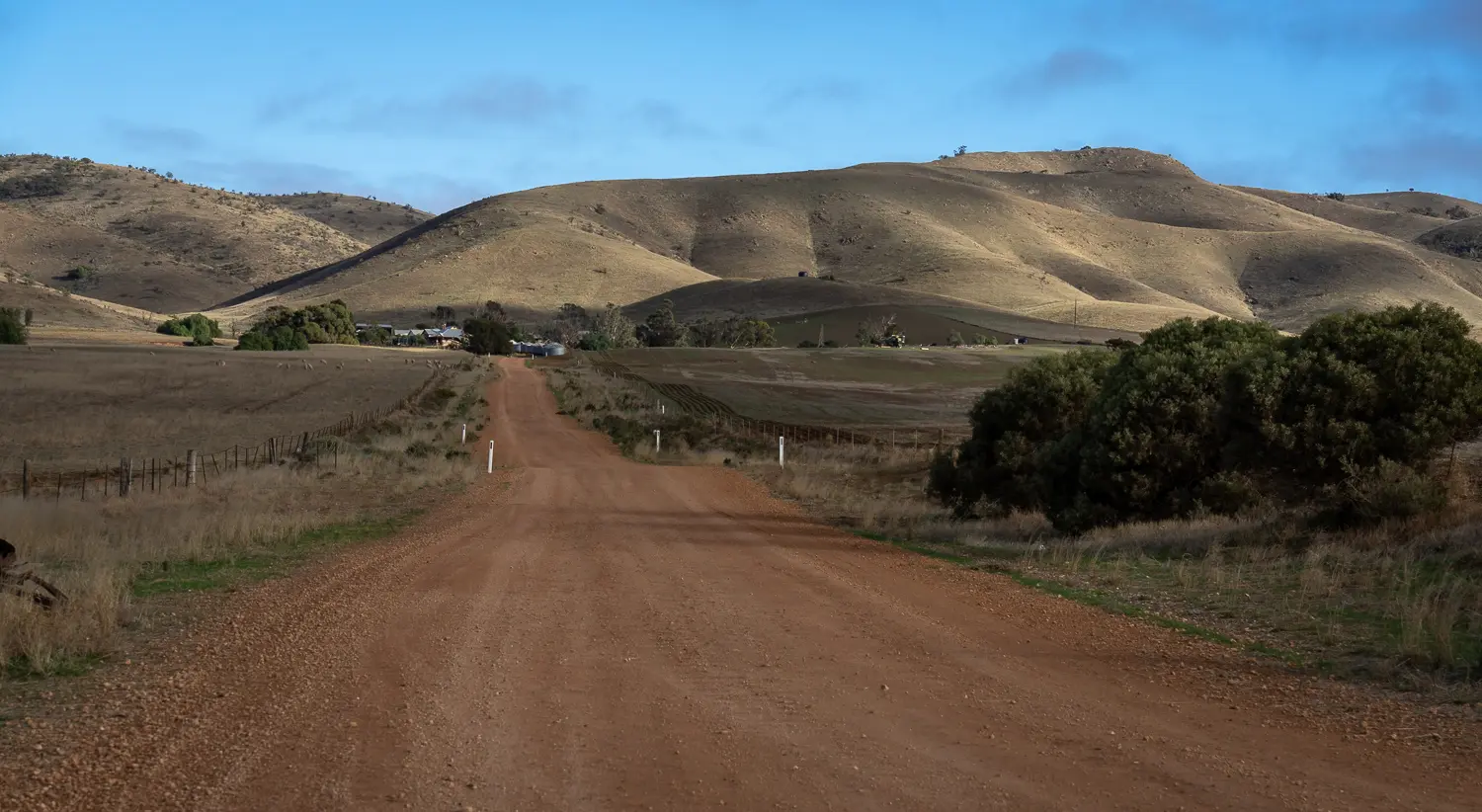
Although primarily a long, flat, treeless walk along dirt roads and road reserves, you’ll get a perspective on the diversity of landscape of the Trail. Along the final few kilometres you’ll enjoy pleasant views over the historic Burra township.
The section of the Wild South Coast Way from Cape Jervis to Yapari Ngawanthi (Cliffs Campground) remains closed until further notice. Read more
The Friends AGM will be held on 22 April 2026. Join us to celebrate 40 years of the Heysen Trail. Read more
Although primarily a long, flat, treeless walk along dirt roads and road reserves, you’ll get a perspective on the diversity of landscape of the Trail. Along the final few kilometres you’ll enjoy pleasant views over the historic Burra township.