

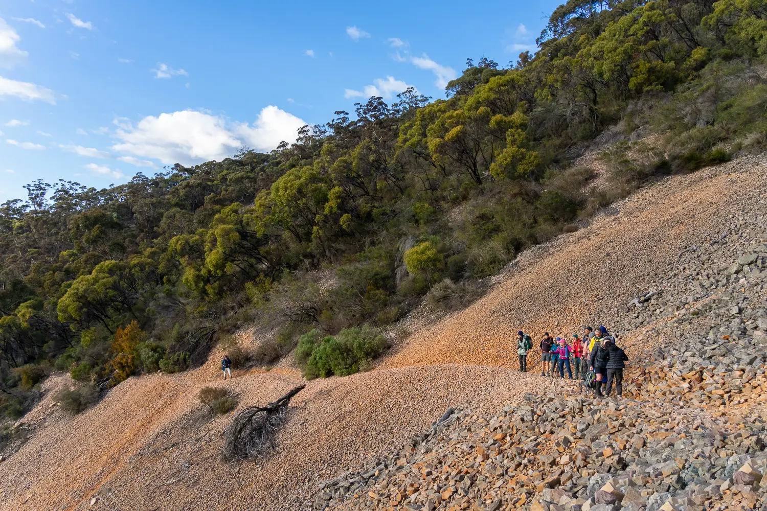

This is a very long and difficult (but memorable) section of the Trail which you’ll start by climbing Mount Remarkable, continuing through Mount Remarkable National Park before emerging on Alligator Gorge Road.
The Wild South Coast Way is now OPEN ... with a re-route between Tent Rock Road and Tapanappa via the Deep Creek Cove hike. Read more
This is a very long and difficult (but memorable) section of the Trail which you’ll start by climbing Mount Remarkable, continuing through Mount Remarkable National Park before emerging on Alligator Gorge Road.